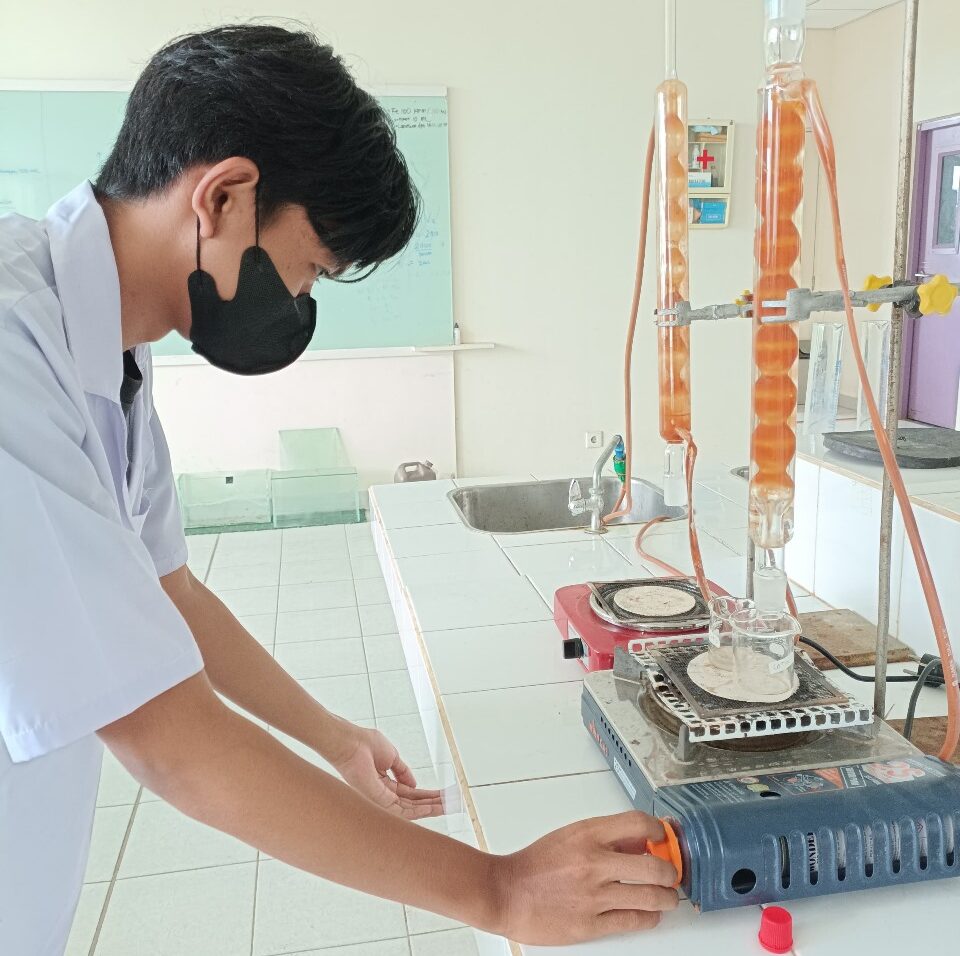

This study aims to analyze the concentration levels, emission loads, and dispersion patterns of carbon monoxide (CO) gas from motor vehicle emission sources in Makassar City using a direct measurement approach and modeling using the AERMOD system. The research activities began with the identification of strategic locations that serve as major traffic routes and have high vehicle volumes, such as Jalan Perintis Kemerdekaan, Jalan Urip Sumoharjo, Jalan AP Pettarani, and Jalan Sultan Alauddin. At these locations, CO concentration measurements were conducted using the impinger method analyzed with a spectrophotometer, along with recording vehicle volumes every 15 minutes using a traffic counter for three vehicle categories: motorcycles (MC), light vehicles (LV), and heavy vehicles (HV). Additionally, this activity involved calculating CO emission loads using the Tier 2 method based on national emission factors listed in Ministry of Environment Regulation No. 12 of 2010.
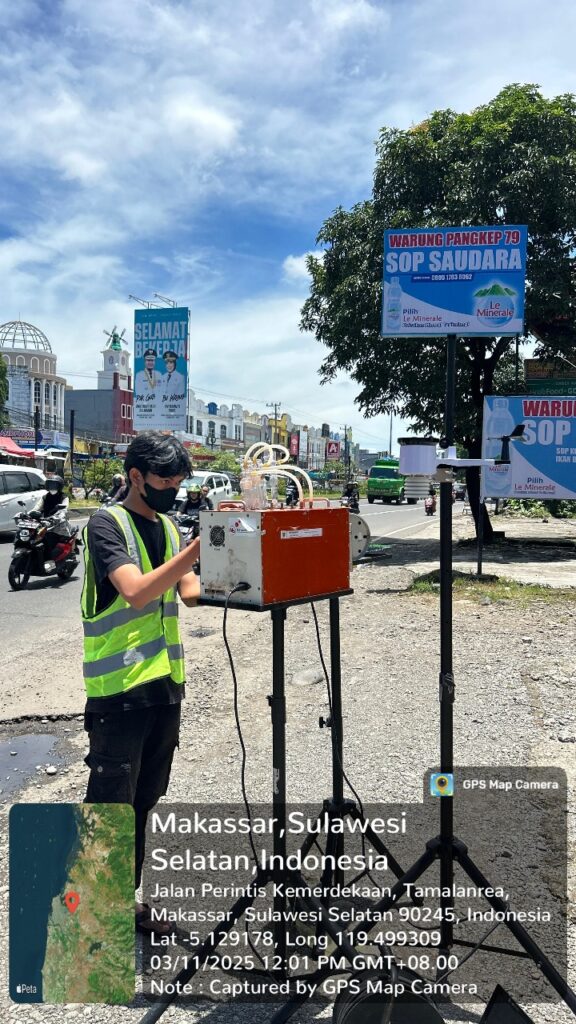
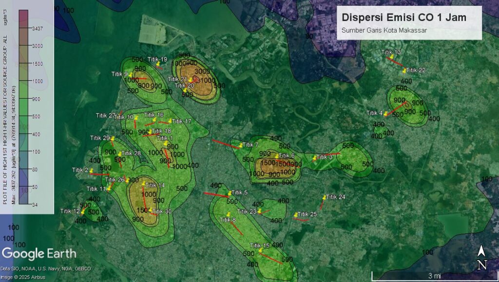
In CO dispersion modeling, the AERMOD model was used, which consists of three main components: AERMET as the meteorological data processor, AERMAP as the topography processor, and AERMOD View as the main module that processes emission, meteorological, and surface condition data to map pollutant distribution. Meteorological data were obtained from the Copernicus Climate Data Service (CDS) and then processed to generate atmospheric parameters such as wind speed and direction, air temperature, and mixing layer height. Measurement results show that CO concentrations in ambient air range from 229 µg/m³ to 1664 µg/m³, while modeling results show a concentration range of 275 µg/m³ to 1320 µg/m³. The CO emission load calculated based on emission factors showed varying values depending on traffic volume and road length, with a range between 0.01 and 35.53 grams/second.
The CO concentration distribution pattern from the modeling results shows a dominant spread toward the northwest, in line with the dominant wind direction in the city of Makassar. This pattern is clearly visible from the isopleth visualization on the AERMOD map, which depicts areas with higher potential for pollutant accumulation, particularly in areas with high vehicle density and low air circulation. Based on actual measurements and modeling results, it is known that although there are significant CO emissions from the transportation sector, the concentration values remain below the ambient air quality standards set in Government Regulation of the Republic of Indonesia No. 22 of 2021, which is 10,000 µg/m³ for a 1-hour average.
This research not only successfully identified and mapped the actual conditions of CO pollution caused by motor vehicles in Makassar City but also demonstrated that the use of the AERMOD model can be an effective alternative in the air quality monitoring process. This model is capable of spatially and quantitatively describing pollutant dispersion patterns and assisting in the development of data- and scientifically-based air pollution mitigation strategies.
Additionally, the results of this study are expected to serve as an important information source for local governments, academics, and the general public in planning more environmentally friendly transportation policies and increasing awareness of the importance of emission control in densely populated urban areas. This research also contributes significantly to the development of cost-effective, accurate, and easily replicable air quality monitoring methods in other Indonesian cities facing similar challenges.