



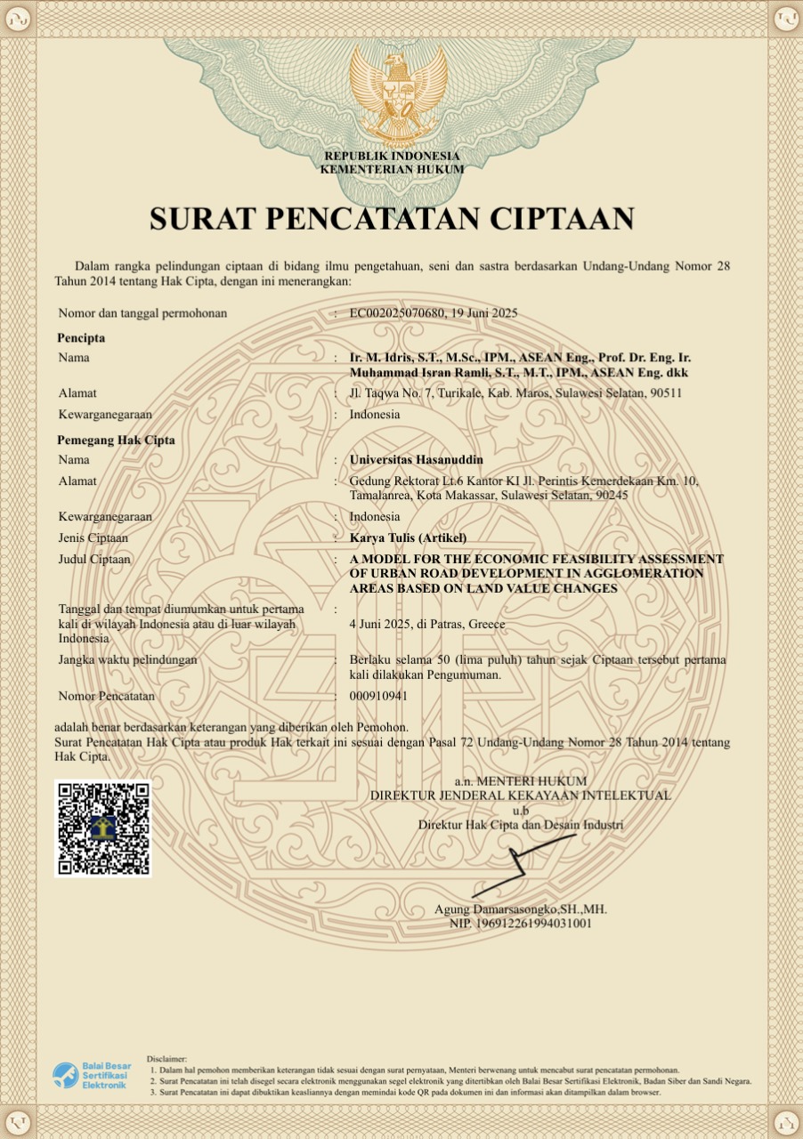
A Model for the Economic Feasibility Assessment of Urban Road Development in Agglomeration Areas Based on Land Value Changes
Read More
HAKI No. EC002025070680, 19 Juni 2025. This model is designed to assess the economic feasibility of road construction in urban agglomeration areas based on changes in land value. The model integrates spatial and economic data to project the impact of construction on property value increases around the project. This approach helps policymakers and investors evaluate the economic benefits of road infrastructure construction more accurately and based on data.
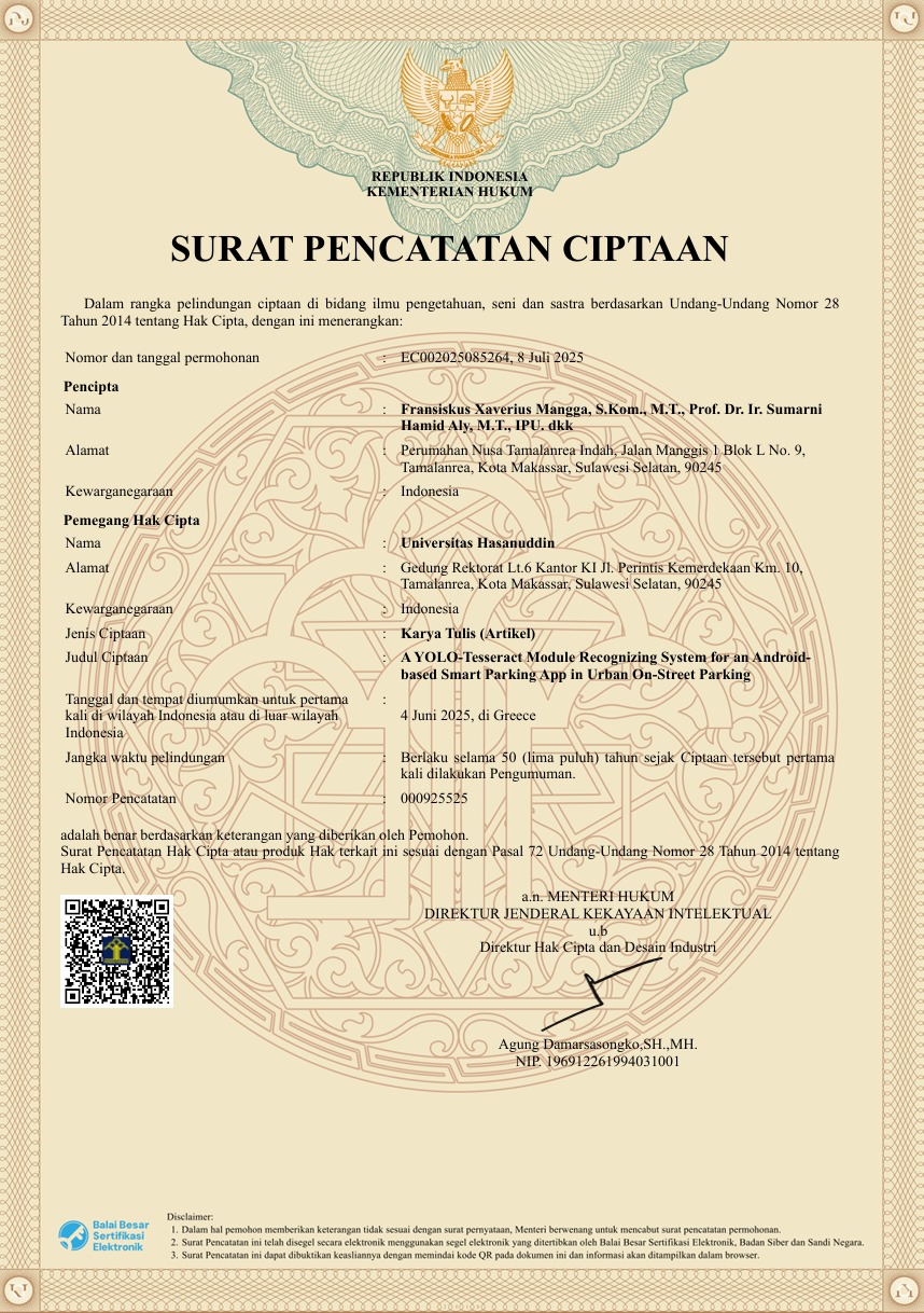
A YOLO-Tesseract Module Recognizing System for an Android based Smart Parking App in Urban On-Street Parking
Read More
HAKI No. EC002025085264, 8 Juli 2025. an artificial intelligence-based system that integrates the YOLO algorithm for vehicle detection and Tesseract OCR for reading vehicle license plates. This system is designed to be implemented in an Android application to support smart parking management in urban roadside parking areas. By utilizing the phone's camera as the main sensor, this module is capable of recognizing vehicles in real-time and extracting important information such as license plate numbers, parking position, and parking time. The purpose of this system is to improve the efficiency of parking management, provide accurate data for policymakers, and make the parking process easier for users. This HAKI registration provides protection for the integration of technology and the system design developed, and also opens up opportunities for further development in the fields of intelligent transportation and smart city systems.
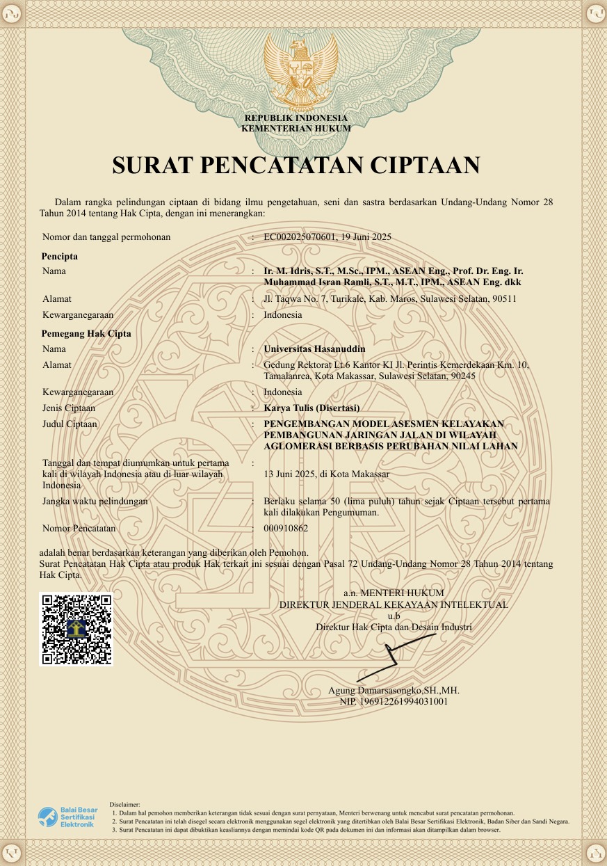
Pengembangan Model Asesmen Kelayakan Pembangunan Jaringan Jalan Di Wilayah Aglomerasi Berbasis Perubahan Nilai Lahan.
Read More
HAKI No. EC002025070601, June 19, 2025. This work is the result of innovation in the development of a road network feasibility assessment model in agglomeration areas, using a land value change-based approach. This model is designed to measure the feasibility of road infrastructure projects not only from a technical and cost perspective, but also based on their economic impact on increasing land values in the surrounding area. This research combines spatial data, land value data, and road network development data using spatial regression analysis methods and geostatistical modeling. This model enables policymakers to predict the potential increase in land value resulting from road construction and use it as one of the indicators of development feasibility.
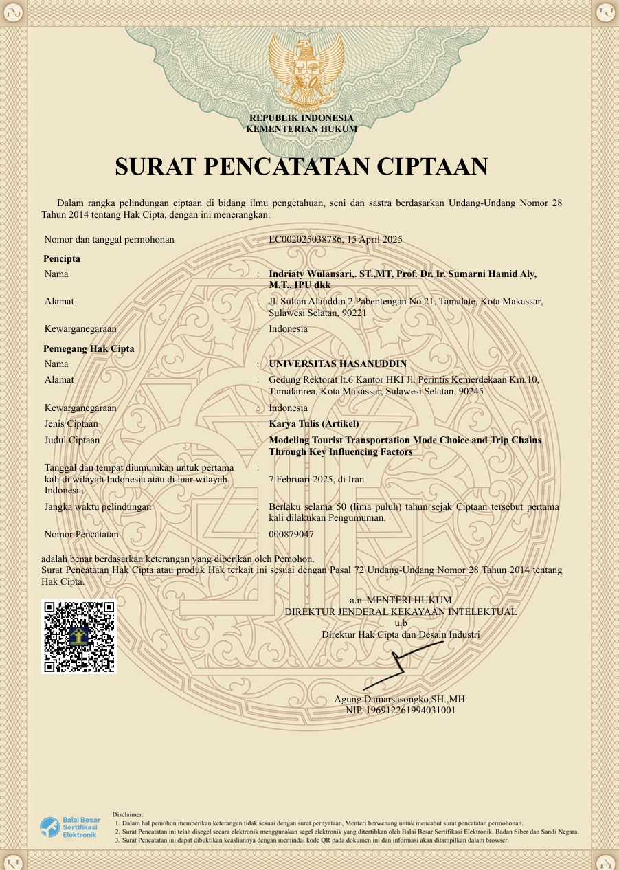
Modeling Tourist Transportation Mode Choice and Trip Chains Through Key Influencing Factors
Read More
HAKI No. EC002025038786, April 15, 2025. This work is the result of research that developed a model for selecting modes of transportation and trip chains for tourists based on the main factors that influence their decisions. The primary objective of this work is to understand how tourists plan their trips, including their choice of transportation mode and the sequence of visits to various destinations within a single tourist trip. The model was constructed using a quantitative approach with discrete choice modeling methods and analyzed through key variables such as travel costs, travel time, comfort, accessibility, tourist destinations, and individual tourist characteristics. Data was collected through surveys of domestic tourists and analyzed to identify common patterns and preferences in travel planning.
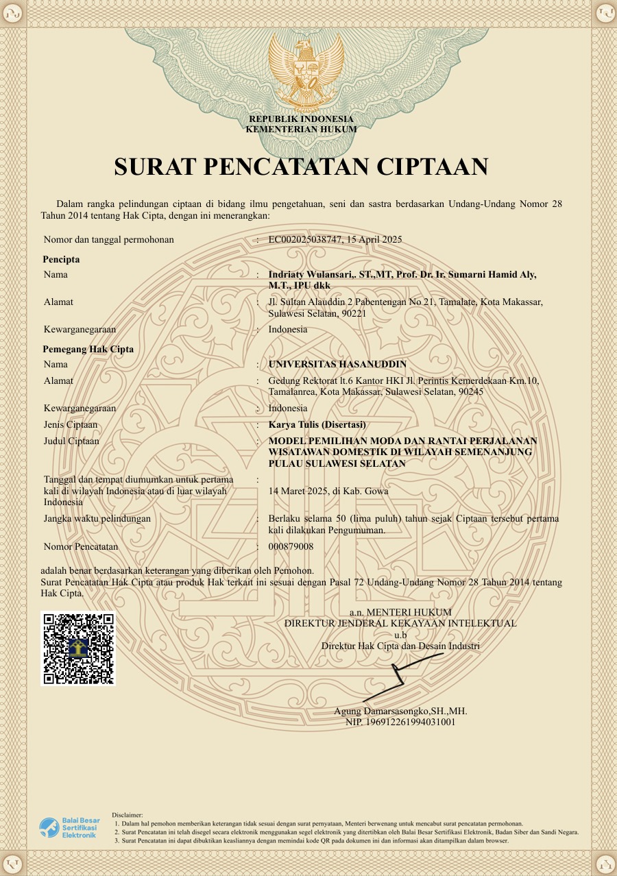
Model Pemilihan Moda Dan Rantai Perjalanan Wisatawan Domestik Di Wilayah Semenanjung Pulau Sulawesi Selatan
Read More
HAKI No. EC002025038747, April 15, 2025. This work is the result of research that developed a model for selecting modes of transportation and travel chain patterns for domestic tourists in the South Sulawesi Peninsula region. This research aims to understand tourists' preferences in choosing modes of transportation during their travels and their visit patterns to various destinations in a single travel chain. The model was developed using a quantitative approach based on survey data, analyzed through statistical methods such as logistic regression analysis and discrete choice modeling. The study includes various variables such as travel costs, travel time, mode comfort, tourist characteristics, and interconnectivity between destinations.
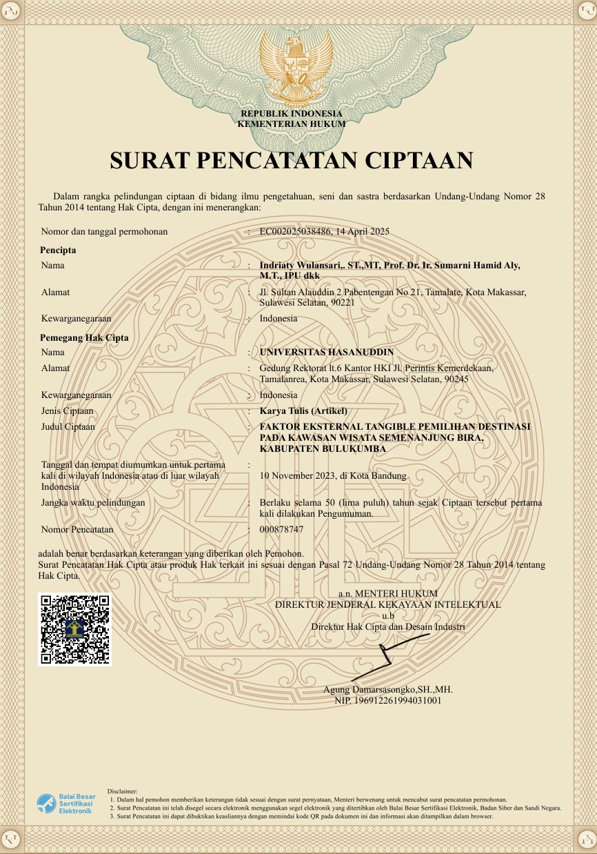
Faktor Eksternal Tangible Pemilihan Destinasi Pada Kawasan Wisata Semenanjung Bira, Kabupaten Bulukumba
Read More
HAKI No. EC002025038486, April 14, 2025. This study examines the influence of tangible external factors on tourists' decisions to choose tourist destinations in the Bira Peninsula region, Bulukumba Regency. The tangible factors analyzed include infrastructure conditions, tourist facilities, accessibility, environmental cleanliness, and the overall physical appearance of the destination. The study was conducted using a quantitative approach through surveys of visitors to the tourist area, as well as statistical analysis to determine the extent to which these factors influence interest and visitation decisions. The research findings indicate that tangible external factors have a significant influence on tourist visitation rates, particularly in terms of accessibility comfort, beach cleanliness, and the completeness of accommodation facilities.
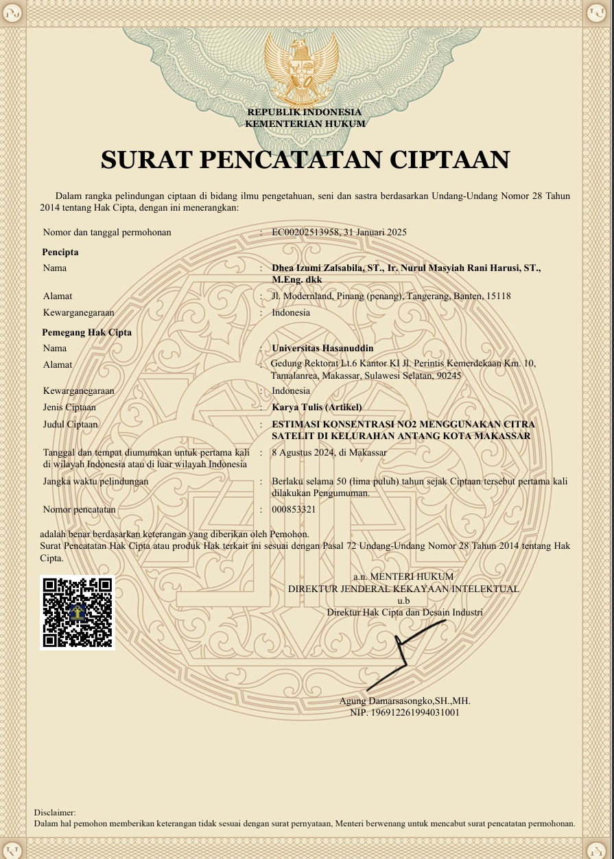
Estimasi Konsentrasi NO2 Menggunakan Citra Satelit Di Kelurahan Antang Kota Makassar.
Read More
HAKI No. EC00202513957, 2025. This work contains research results aimed at estimating nitrogen dioxide (NO₂) concentrations in the Antang subdistrict of Makassar City, using remote sensing data from satellite imagery. Nitrogen dioxide is one of the primary air pollutants originating from transportation activities, fossil fuel combustion, and industrial processes. The method employed involves processing Sentinel-5P TROPOMI satellite imagery data, supplemented with spatial correction techniques and spatial analysis of NO₂ concentration distribution in the study area. The data was then calibrated using secondary data or other supporting data to obtain more accurate estimation results. The study results showed significant variations in NO₂ concentrations across regions, with the highest concentrations generally found around densely trafficked transportation routes and high-activity residential areas. These findings provide important insights into the distribution of air pollution in urban areas and can serve as a basis for policy-making regarding air quality management and environmentally friendly urban planning.
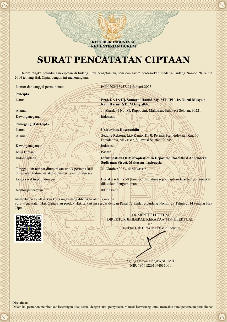
Identification of Microplastics in Depositetd Road Dust at Jenderal Sudirman Street, Makassar, Indonesia.
Read More
HAKI No. EC00202513957, 2025. This poster is titled Identification of Microplastics in Deposited Road Dust at Jenderal Sudirman Street, Makassar, Indonesia, which is the result of scientific research visualization on the presence of microplastics in road dust deposited on one of the main roads in Makassar City. This research was conducted to identify the types, shapes, and potential sources of microplastics contained in road dust, which contribute to urban environmental pollution. The poster aims to raise public and academic awareness of the importance of controlling plastic waste in urban environments, as well as serve as a scientific reference for the development of more sustainable plastic waste management policies.
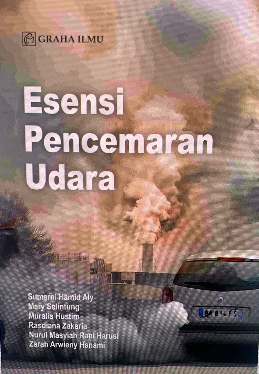
Karya Buku Esensi Pencemaran Udara
Read More
HAKI No. 2023, Rapid developments in industrial and technological growth, coupled with an increase in the number of motor vehicles using fossil fuels, have led to air pollution caused by gases and smoke from combustion. This pollution can occur both indoors and outdoors, making it crucial to maintain air quality for the health and well-being of all living beings. Therefore, it is essential to understand and analyze the characteristics, sources, types, impacts, as well as the concentration and distribution of air pollution to maintain the quality of ambient air inhaled by living organisms. This book also includes examples of air quality measurements and analyses both indoors and outdoors.