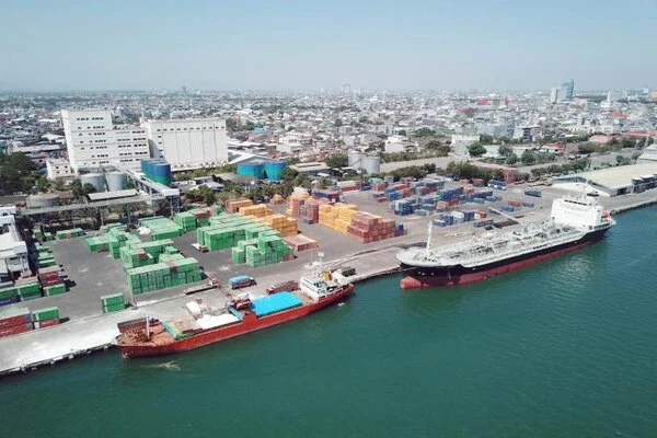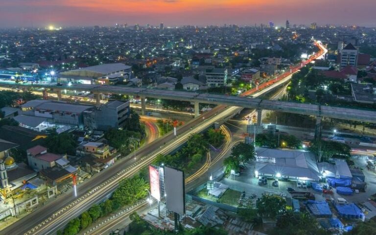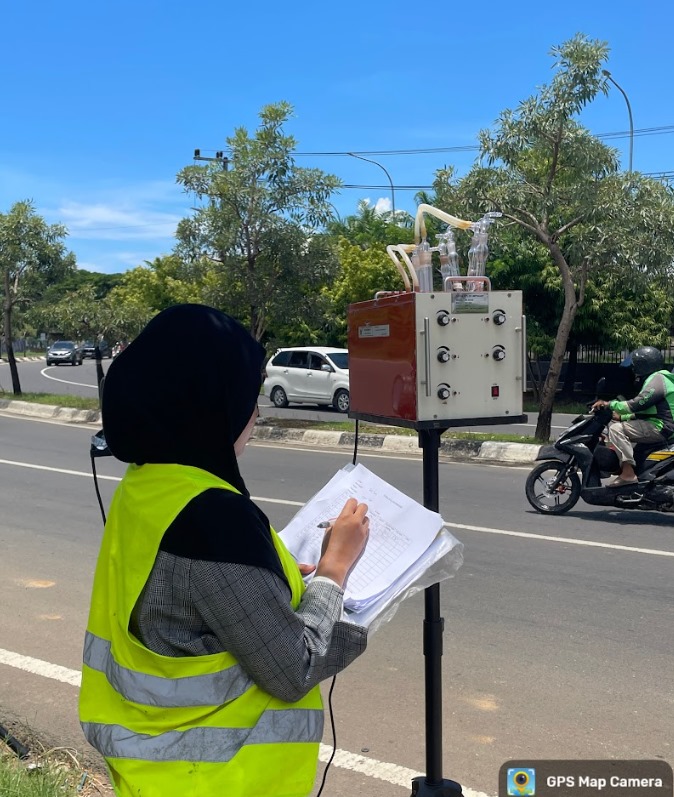

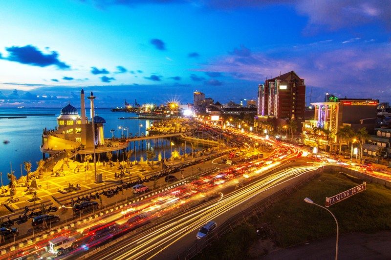
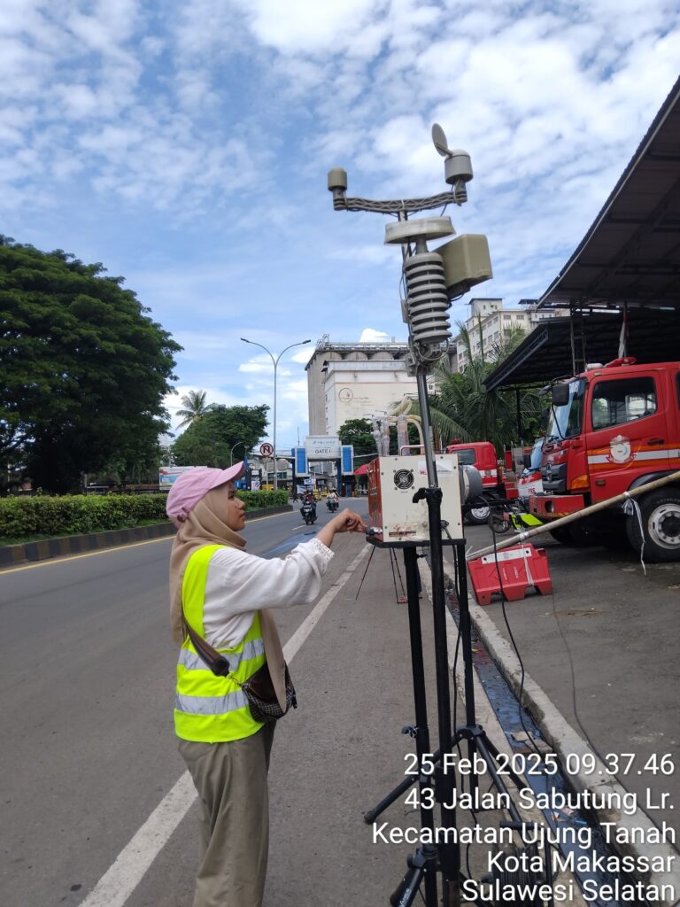
This study is a comprehensive effort to evaluate air quality parameters, particularly carbon monoxide (CO) concentrations, in densely populated urban areas such as Makassar City, by integrating direct field measurement methods and remote sensing technology approaches using satellite imagery. The research activities began with the identification and selection of sampling locations at 30 strategic points spread across various types of roads with varying traffic densities, to obtain a representative picture of CO exposure resulting from transportation, industrial, and other human activities. CO concentration data was collected using an impinger method absorbed in a capture solution, then analyzed using a UV-Vis spectrophotometer to obtain accurate laboratory results. The measurement data was statistically and spatially analyzed to identify CO distribution patterns in urban areas.
In parallel, Sentinel-2 and Landsat 8 satellite imagery data were collected and processed using the CO estimation algorithm developed by Somvanshi et al. (2021), which utilizes atmospheric reflectance from the Green, Red, and SWIR bands. The image processing involved converting digital numbers (DN) into TOA reflectance, atmospheric correction, and calculating specific reflectance values at certain wavelengths, which were then entered into the CO concentration estimation regression formula. The analysis was conducted using the Google Earth Engine (GEE) platform to facilitate the processing of spatial and temporal big data, as well as ArcGIS software for mapping the estimation results. The next step was to map the spatial distribution of CO derived from satellite image estimation and compare it with direct measurement data to evaluate the accuracy and suitability of the estimation with real-world conditions.
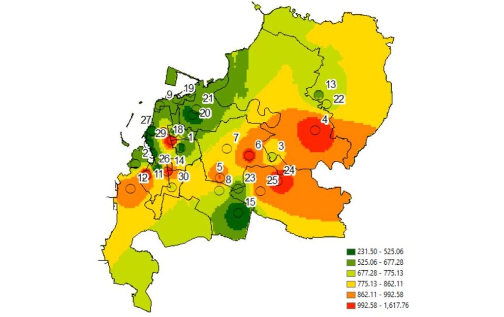
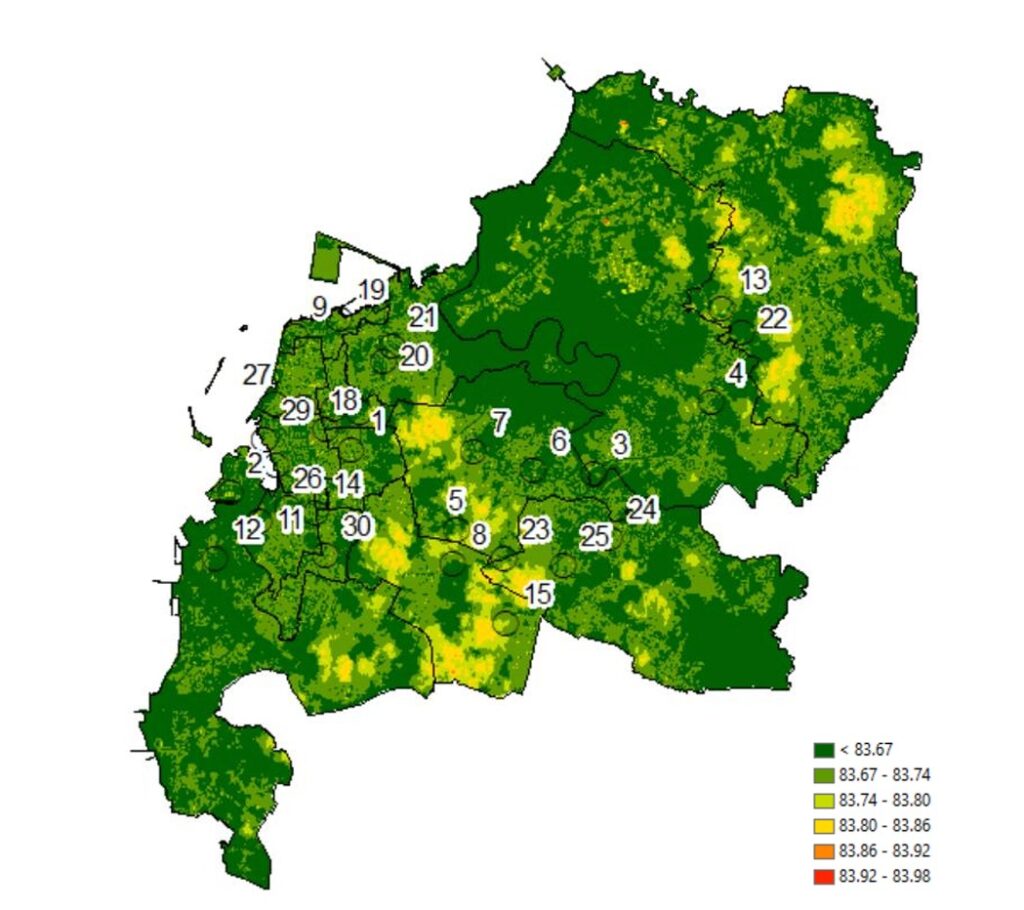
The results of the study show that CO concentrations based on direct measurements vary significantly, with values ranging from 101.91 to 1,664 µg/m³, depending on the type of road and surrounding activities, such as motor vehicle density, commercial activity, and proximity to emission sources such as industrial areas or terminals. In contrast, CO estimates from Sentinel-2 and Landsat 8 satellite imagery showed a relatively homogeneous range of values, approximately 83,618–83,989 µg/m³, indicating limitations in the ability of satellite imagery to accurately capture spatial variations in CO, particularly at the micro-scale or in densely populated areas. Validation using the Spearman correlation test showed a weak relationship between the estimation results of the two satellite images (r = 0.361; p = 0.050), and the Wilcoxon Signed Ranks Test indicated a significant difference between the estimated data and the direct measurement data, meaning that the estimation algorithm cannot accurately represent real-world conditions.
Overall, this study provides an overview that while satellite imagery such as Sentinel-2 and Landsat 8 has great potential in supporting air quality monitoring, its application for estimating CO concentrations still requires further development, particularly in adapting the algorithm to local environmental characteristics such as land cover, urbanization levels, land use patterns, and the meteorology of Makassar City. This study also highlights the importance of a combined approach between field data and remote sensing in producing holistic and scientifically accountable air quality analysis. Additionally, this activity highlights the crucial role of geographic information systems (GIS) in visualizing and analyzing spatial air quality data, emphasizing the need for the development of more advanced, real-time, and wide-area air monitoring systems, particularly in large cities facing high urbanization pressures.
This research activity not only produces data and analysis that can be used for academic purposes but also provides significant practical contributions in the fields of air quality management, sustainable urban planning, and serves as a scientific basis for formulating air pollution control policies in Makassar City. Going forward, the results and approaches from this research can be replicated and developed in other regions with similar urban characteristics, as part of a national strategy to improve air quality and environmental health through the use of satellite and geospatial technology.