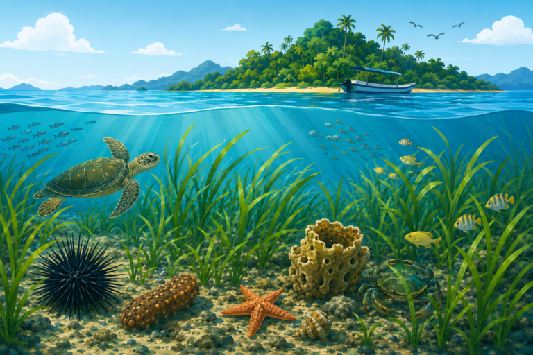
MAKASSAR, Indonesia March 27, 2026/SESREG/ – When we picture the frontline of climate change, our minds often drift to melting glaciers or scorching deserts. Yet, one of the planet’s most critical ecological battlegrounds is quietly unfolding right beneath the waves. Hidden in shallow tropical waters, seagrass meadows act as the ocean’s silent heroes. These vibrant underwater pastures support coastal fisheries, shield shorelines from devastating erosion, and capture vast amounts of “blue carbon” to help cool our warming planet. Despite these superpowers, they are vanishing at an alarming rate, often overshadowed by their flashier neighbors, the coral reefs.
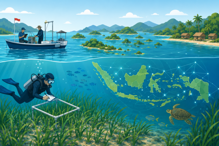
Now, an innovative scientific study has combined high-tech satellite tracking with muddy boots-on-the-ground fieldwork to document this quiet crisis. This critical environmental breakthrough is detailed in a study titled “Spatio-temporal distribution of seagrass extent in three zones of Spermonde Archipelago, Indonesia”. Published in the prestigious journal Biodiversitas in February 2026, the pioneering research was led by a team of Indonesian scientists who utilized advanced remote sensing to map a decade of dramatic habitat shifts.
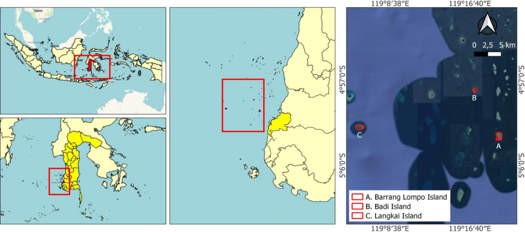
To uncover how these underwater forests are changing over time and space, the research team focused on three distinct islands within South Sulawesi’s famous Spermonde Archipelago: Barrang Lompo, Badi, and Langkai. By deploying the Lyzenga algorithm—a clever mathematical tool that filters out water-column distortion—the scientists analyzed high-resolution Sentinel-2 satellite imagery captured between 2015 and 2025.
The decadal results were a sobering wake-up call for marine conservation. Over just ten years, the satellite data revealed widespread, localized habitat destruction. Seagrass coverage plummeted by 30.69% (12.53 hectares) on the sheltered island of Barrang Lompo, a staggering 56.02% (3.91 hectares) on Badi Island, and 26.86% (12.23 hectares) on outer-zone Langkai Island.
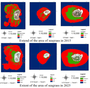
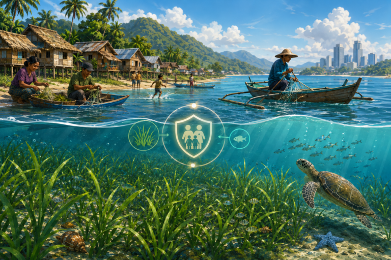
The study exposed that the drivers behind these alarming losses varied dramatically depending on location. On the densely populated inner islands like Barrang Lompo and Badi, the underwater forests are being choked out by human activities, including land-use changes, localized sewage pollution, and intensive, destructive fishing practices. Conversely, on the remote outer island of Langkai, the decline is heavily accelerated by natural oceanographic forces, such as strong currents from the Indonesian Throughflow and unstable underwater sediments.
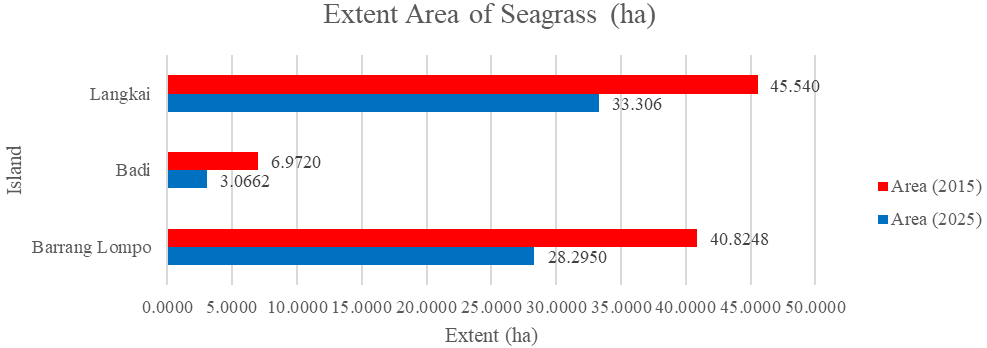
By quantifying these rapid, distinct regional patterns of seagrass loss, the study directly underscores the urgency of Sustainable Development Goal 14 (Life Below Water). The authors argue that uniform, “one-size-fits-all” environmental policies are no longer enough to save these vital blue carbon sanctuaries. Instead, we must use satellite monitoring to design targeted, zone-specific fisheries management and water quality improvements. Only by tailoring conservation efforts to local human and environmental pressures can we protect these vital marine frontiers, ensuring that Indonesia’s rich coastal biodiversity remains resilient and thriving for generations to come.
Contact Person:
Prof. Dr. Ir. Rohani Ambo-Rappe, M.Si.
rohani.amborappe@mar-sci.unhas.ac.id
rohani.amborappe@gmail.com