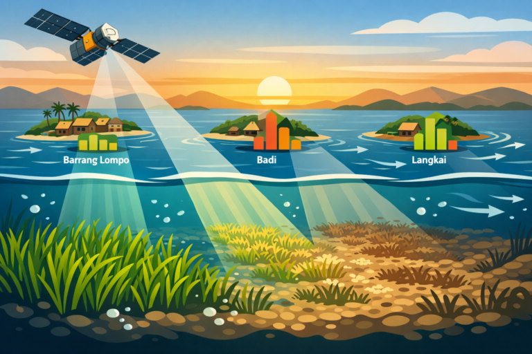
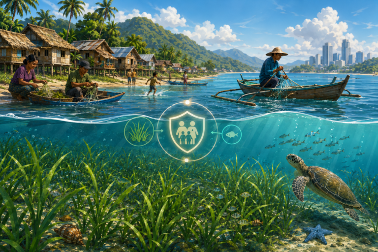
MAKASSAR, Indonesia Jan 6 2026/SESREG/ – Hidden beneath the turquoise waves of the vast Indonesian archipelago lies an unsung environmental hero: seagrass meadows. While flamboyant coral reefs and dense mangroves frequently steal the conservation spotlight, these vibrant underwater pastures are quietly performing ecological miracles. They actively filter coastal waters, act as vital nurseries for global fisheries, protect shorelines from severe erosion, and store massive amounts of blue carbon, helping to cool our rapidly warming planet. However, because Indonesia spans over seventeen thousand islands, tracking and protecting these crucial marine habitats has long been a logistical nightmare, leaving critical data scattered, highly fragmented, and incomplete among competing groups.
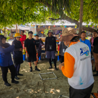
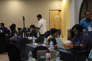
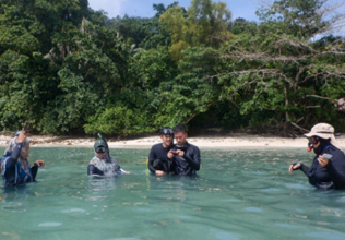
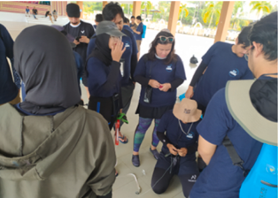
To tackle this monumental challenge, an innovative group of leading international researchers and national policymakers designed a collaborative model to standardize how we monitor these delicate underwater ecosystems. Their groundbreaking study, titled A framework for an effective nationwide seagrass data collection: a case study for Indonesia, offers a transformative solution to global marine conservation. Published in the renowned journal Ocean and Coastal Management by Elsevier in 2026, this essential research outlines how a multi-stakeholder partnership can successfully map an entire nation’s precious marine treasures.
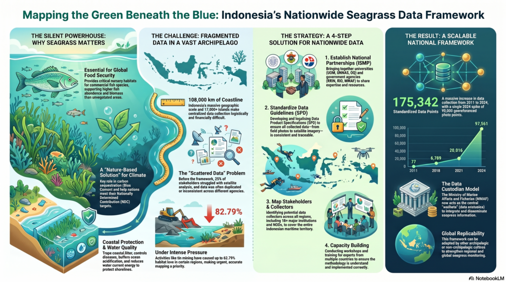
Before this initiative, individual organizations used widely differing methods to study seafloor life, making it nearly impossible to compile a cohesive national database. The new framework introduces a standardized data product specification, establishing consistent benchmarks for environmental monitoring. By uniting government bodies, local universities, and international experts under the unified Indonesian Seagrass Mapping Partnership, the team gathered a staggering 175,342 seagrass data points across the region. This massive collective effort ensures that field surveys, satellite imagery interpretation, and localized drone data are seamlessly aligned for precise ecological mapping.
This visionary collaborative approach directly champions the United Nations’ SDG 14: Life Below Water, which focuses on the conservation and sustainable use of oceans, seas, and marine resources. By providing accurate, reliable, and standardized spatial data, the framework empowers policymakers to designate effective marine protected areas, safeguard coastal communities against climate impacts, and legally account for blue carbon assets. Furthermore, it efficiently addresses critical funding shortages by streamlining institutional resources and eliminating costly, duplicate field efforts.
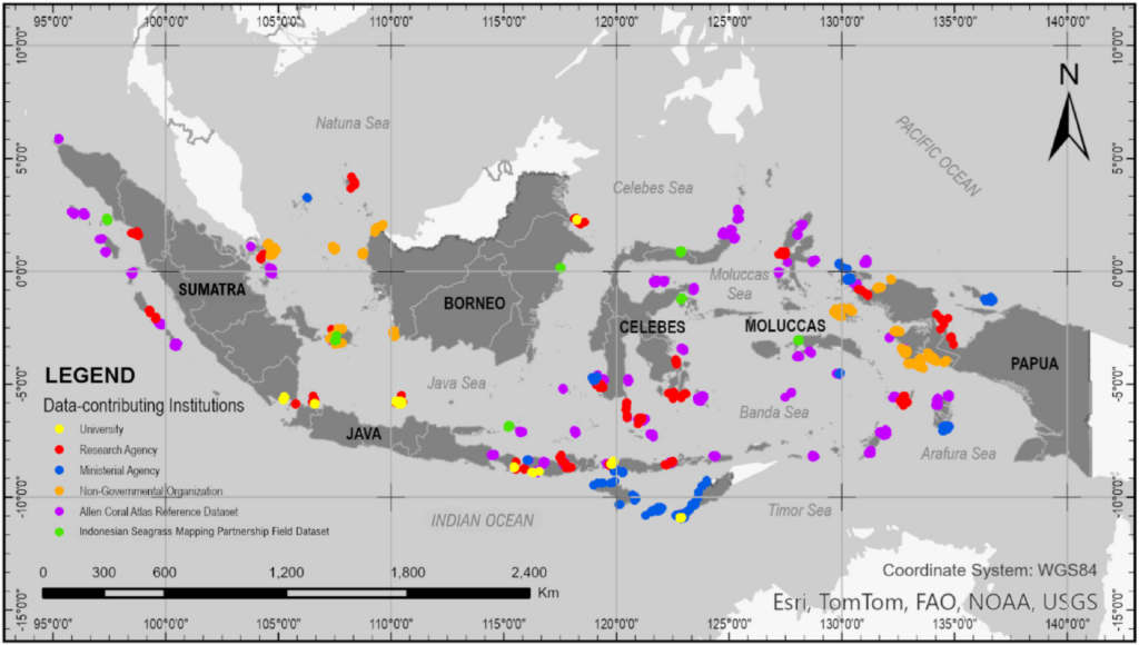

Ultimately, this Indonesian case study serves as an inspiring, reproducible blueprint for other large archipelagic nations grappling with fragmented environmental data. By successfully transforming chaotic, isolated research into an organized, unified stream of knowledge, this framework proves that teamwork is just as vital as technology in safeguarding our shared oceans. Protecting our seas requires us to know exactly what lies beneath them, and this nationwide mapping framework provides the exact lens the world needs to protect these vital underwater sanctuaries before they disappear forever.
Contact Person:
Prof. Dr. Ir. Rohani Ambo-Rappe, M.Si.
rohani.amborappe@mar-sci.unhas.ac.id
rohani.amborappe@gmail.com