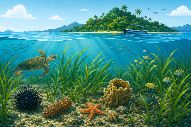

MAKASSAR, Indonesia Okt 23 2025 /SESREG/ – When we think of forests, our minds usually drift to towering trees, chirping birds, and lush green jungles on land. But did you know that some of our planet’s most critical and biodiverse forests thrive completely underwater, away from human sight? Seagrass meadows are truly the unsung heroes of our oceans. These vibrant marine pastures act as incredibly powerful “blue carbon” sinks, absorbing and storing carbon dioxide within their sediments for decades far more efficiently than tropical rainforests. By locking away these greenhouse gases, they play a monumental role in cooling our warming planet and combating global climate change. However, these delicate coastal ecosystems are currently facing massive pressure from destructive human activities, making their survival a matter of immediate global urgency.
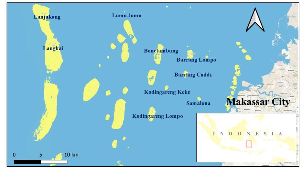
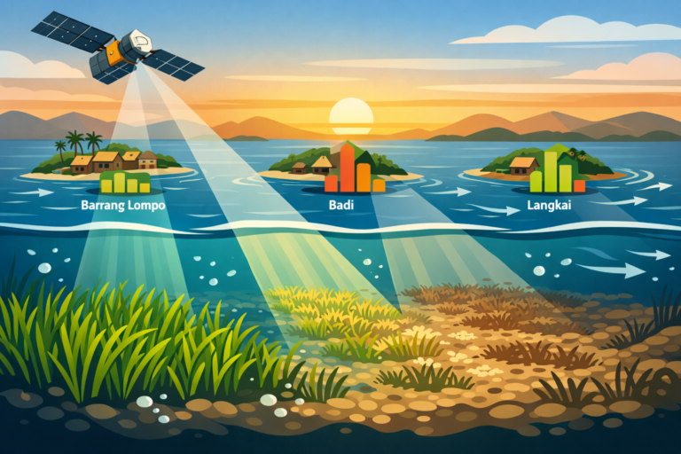
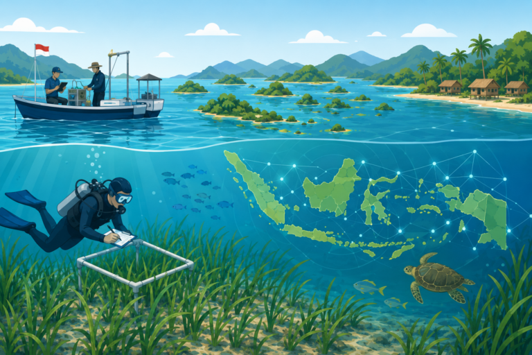
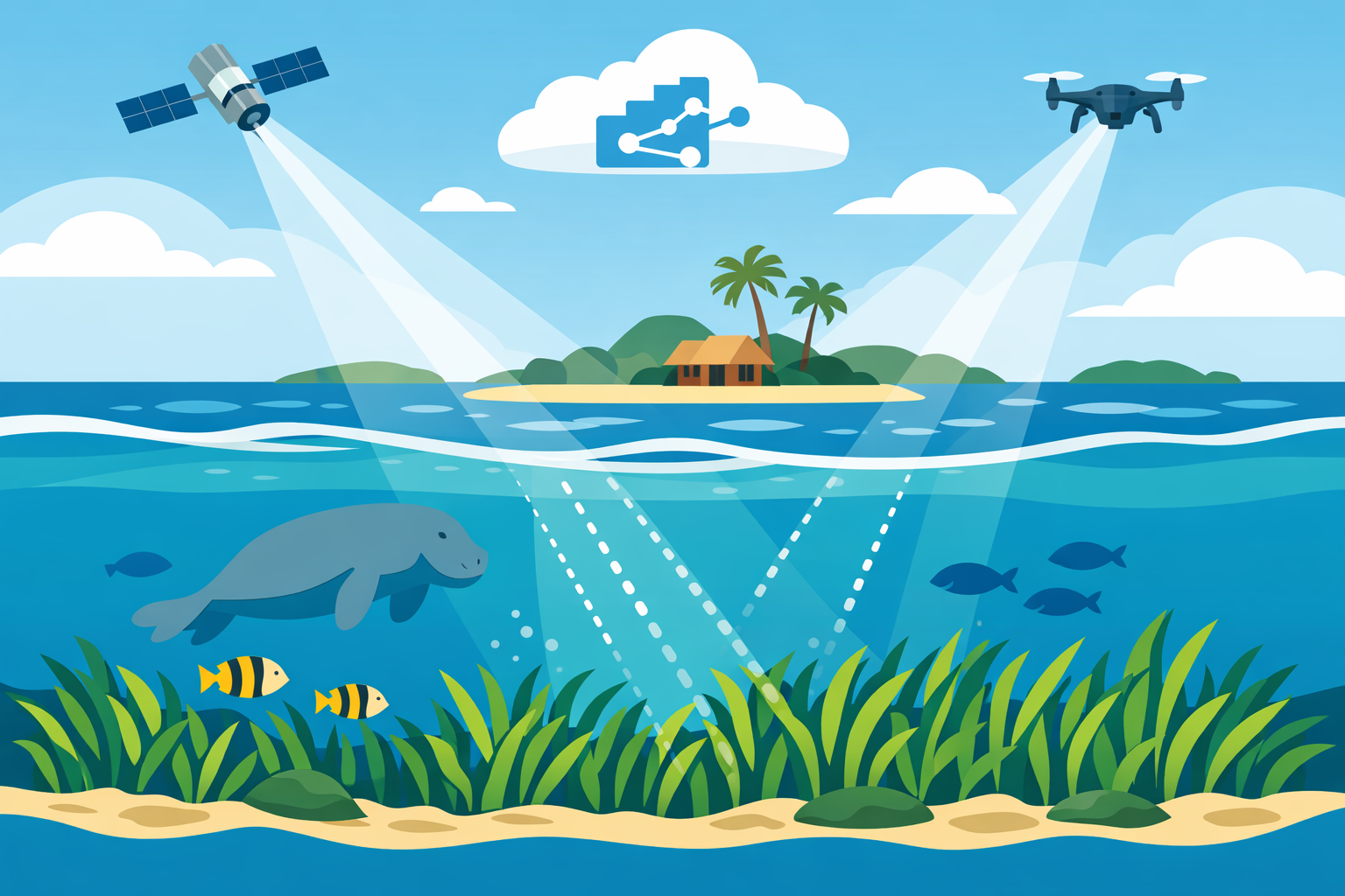
To protect these hidden marine treasures, environmental scientists are turning to advanced cloud technology and space exploration. A fascinating new study recently stepped up to address this pressing challenge, titled The Seasonal Change Detection of Seagrass Extent using Google Earth Engine. Published in the respected scientific journal BIO Web of Conferences by the academic publisher EDP Sciences in 2025, this innovative research brilliantly demonstrates how modern satellite technology can monitor vulnerable ocean health from hundreds of miles above. The authors creatively utilized the free Google Earth Engine platform and excellent satellite imagery to track the precise distribution of seagrass across nine small islands near Makassar, Indonesia, capturing dynamic changes from 2016 to 2024.
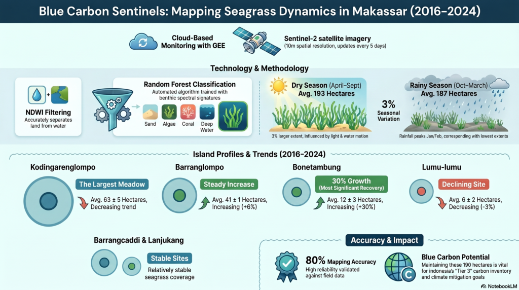
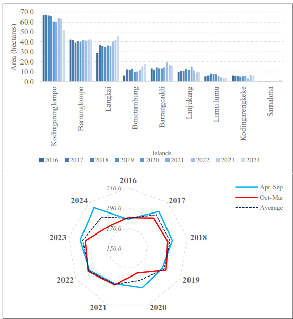
By carefully monitoring these aquatic habitats over a timeline of eight years, the research group discovered that seagrass meadows possess their own unique seasonal rhythms driven by local weather patterns. Interestingly, the image classification results revealed that the total seagrass area across these tropical islands expands by about three percent during the sunny dry season compared to the rainy months. For instance, beautiful Kodingarenglompo Island was found to boast the largest meadow in the region, shifting from 57 hectares in the wet season up to 68 hectares in the dry period. However, the advanced satellite data also revealed a deeply worrying reality: despite these brief seasonal expansions, the overall average seagrass area on several key islands has shown a steady, alarming downward trend over the past eight years due to growing environmental disruptions.
This insightful satellite study directly aligns with the United Nations Sustainable Development Goals, explicitly supporting SDG 14: Life Below Water. By offering a highly reliable and accessible live monitoring tool, this modern methodology bridges a massive geographical information gap that previously hindered ocean conservation. Knowing exactly how seagrass beds react to shifting seasons and human interference empowers local coastal communities, marine scientists, and global policymakers to implement excellent management practices. Protecting these underwater meadows ensures our oceans continue to support diverse marine life, regulate global temperatures, and safeguard coastal livelihoods. Ultimately, keeping our eyes fixed on the sky might just be the absolute best strategy we have to preserve the fragile life teeming beneath the waves.
Contact Person:
Prof. Dr. Ir. Rohani Ambo-Rappe, M.Si.
rohani.amborappe@mar-sci.unhas.ac.id
rohani.amborappe@gmail.com