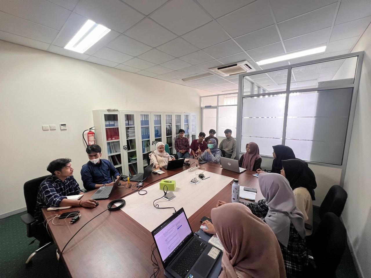

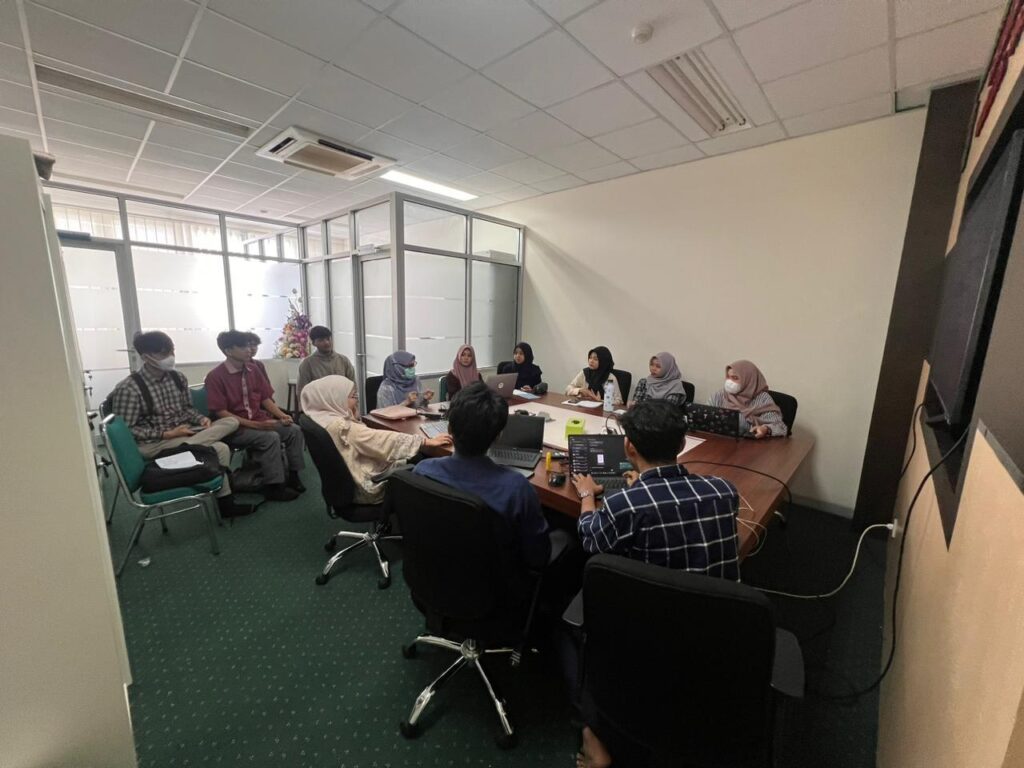
The initial discussion regarding the scheduling and selection of survey locations is a critical stage in the operational planning of field research activities. This stage aims to ensure efficiency, accuracy, and smooth implementation of the surveys. During this phase, the research team, along with field personnel and relevant stakeholders, engages in coordination to determine the most suitable timeframe for conducting surveys, taking into account factors such as weather conditions, site accessibility, equipment availability, and the readiness of human resources. In addition, survey points are strategically selected based on the spatial distribution of the study area, preliminary data, and the core objectives of the research to ensure valid data representation that aligns with the analytical needs.
This planning discussion also includes task delegation, estimated duration of surveys at each location, and identification of potential challenges that may arise during fieldwork, such as terrain conditions, access permits, or safety concerns. The outcomes of this planning phase are compiled into a comprehensive field work plan, which serves as a reference for all team members throughout the data collection process. With well-organized preparation from the outset, it is expected that the entire data gathering phase will proceed systematically, on time, and result in high-quality data to support the overall success of the research.
Makassar is the capital city of South Sulawesi Province, located in the southern part of Sulawesi Island and formerly known as Ujung Pandang. The city comprises 14 subdistricts and lies between 119°24’17″–119°28’27” East Longitude and 5°8’6″–5°11’30” South Latitude. Geographically, Makassar borders Maros Regency to the north and east, Gowa Regency to the south, and the Makassar Strait to the west. The city’s topography is predominantly flat, with slopes ranging from 0–2°, and partially undulating terrain with slopes of 3–15°. The administrative area of Makassar covers approximately 175.77 square kilometers.
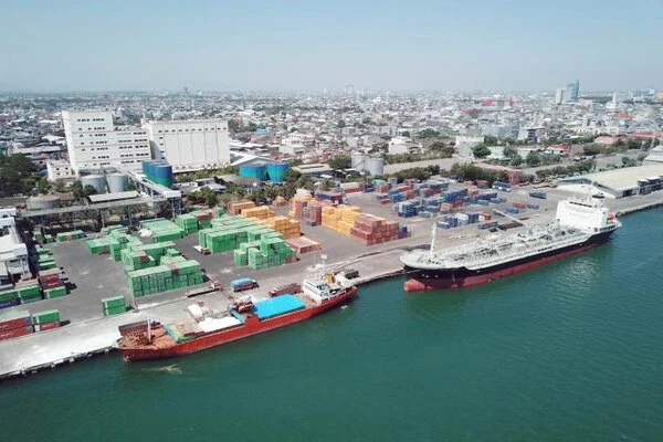
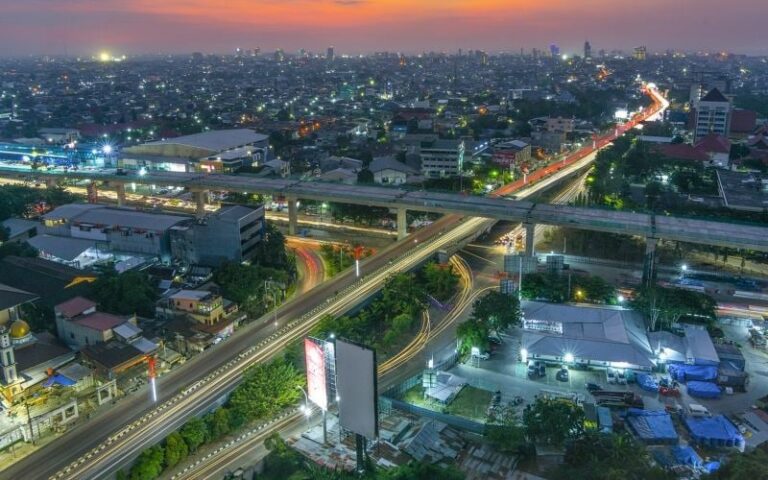
This geographical condition positions Makassar as a strategic coastal city and a hub for economic, industrial, and service activities. Its proximity to the sea offers significant potential in the fisheries, port, and maritime transport sectors. Moreover, Makassar serves as a key trade gateway in Eastern Indonesia and plays a central role in the metropolitan growth of the Mamminasata region (Makassar, Maros, Sungguminasa, and Takalar). The city’s rapidly developing infrastructure and improved interregional connectivity further strengthen its role as a growing metropolitan center across multiple sectors of development.