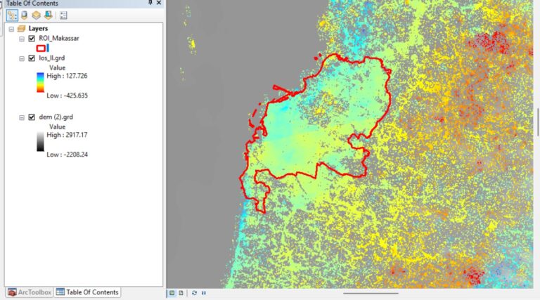

Over the past twenty years, Makassar has transformed from a modest coastal city into one of eastern Indonesia’s fastest-growing urban centers, its skyline rising as rice fields and green corridors give way to rooftops and asphalt. That growth has reshaped more than the landscape; it has quietly reshaped the city’s own microclimate, changing how heat accumulates, lingers, and radiates back into daily life. Understanding exactly how and where this is happening is the driving question behind a new research activity, Detection and Assessment of Land Use Land Cover Change and Its Impact on Land Surface Temperature and Urban Thermal Field Variance Index in Makassar City Using Machine Learning and Statistical Approaches, carried out in Makassar, Indonesia by a team of 5 Participants from January 2025 to December 2025.
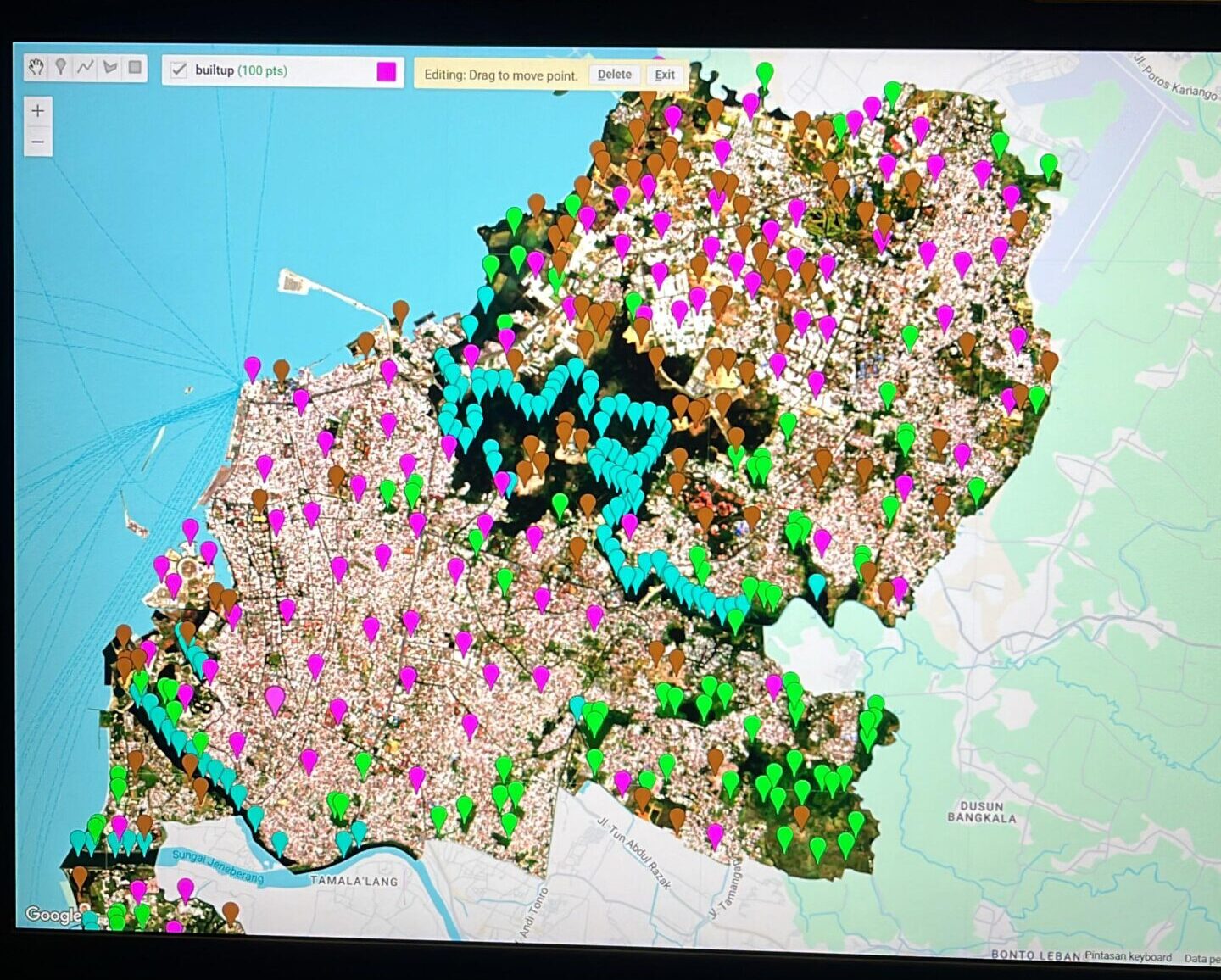
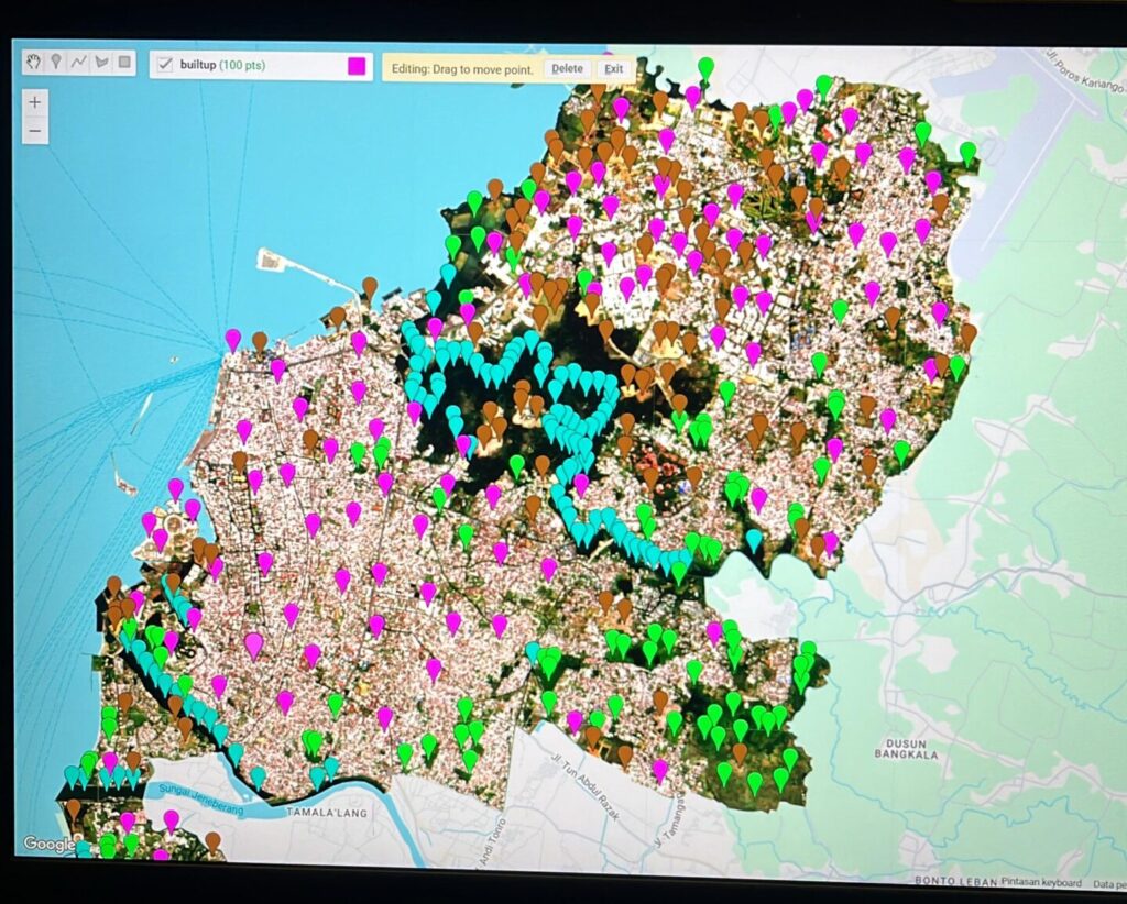
The activity unfolds across five interconnected objectives. First, the team detects changes in Land Use Land Cover (LULC) across Makassar over the past two decades using the Support Vector Machine (SVM) machine learning method, a technique well suited to distinguishing built-up areas, vegetation, and water bodies from satellite imagery with high accuracy. Second, the research analyzes and assesses how these LULC changes have affected Land Surface Temperature (LST), tracing the link between vanishing green space and rising surface heat. Third, the team examines the relationship between LULC change and the Urban Thermal Field Variance Index (UTFVI), a metric that classifies how severely different parts of the city experience urban heat stress. Fourth, the statistical relationships among LULC, LST, and UTFVI are analyzed using Multiple Linear Regression (MLR), establishing overall, city-wide patterns of association. Fifth, the same relationships are re-examined using Geographically Weighted Regression (GWR), a spatial statistical method capable of revealing how these connections vary in strength from one neighborhood to another, rather than assuming the same relationship holds everywhere.
This research speaks directly to three Sustainable Development Goals. It supports SDG 1: No Poverty, particularly Target 1.5, by identifying which neighborhoods face the greatest exposure to intensifying urban heat, information that can guide protection for communities with the fewest resources to adapt. It supports SDG 4: Quality Education, by building local expertise in machine learning, remote sensing, and spatial statistics, capacities the research team develops and can pass on through future studies and training. And it supports SDG 17: Partnerships for the Goals, by combining machine learning classification with two complementary statistical frameworks, MLR and GWR, into a single, transparent analytical pipeline that planners, researchers, and communities can draw on together.
By mapping precisely where and how fast Makassar is heating up, and why, this research aims to give the city an evidence-based foundation for cooling strategies, from targeted green space restoration to smarter zoning, before rising temperatures become an entrenched part of daily urban life.