
Beneath the streets of Makassar, the ground itself is quietly shifting, while above it, sprawling rooftops and pavement are steadily changing how the city breathes heat. For a coastal metropolis expanding as fast as Makassar, deciding where new housing should rise is no longer a question that can be answered by land price or convenience alone. It also has to be a question about the ground and the climate that any future home will actually stand on.
That is the premise behind a new research activity, Feasibility Study of Settlement based on Soil Stability and Thermal Stability in Makassar City, being carried out in Makassar, Indonesia from December 2025 to August 2026 by a team of 5 Participants. Rather than relying on a single indicator, the study combines several satellite-based techniques into one integrated assessment of where land is genuinely stable enough, and cool enough, to support safe, sustainable settlement growth.
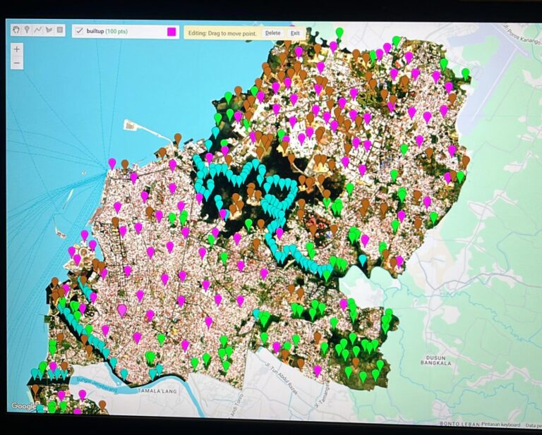
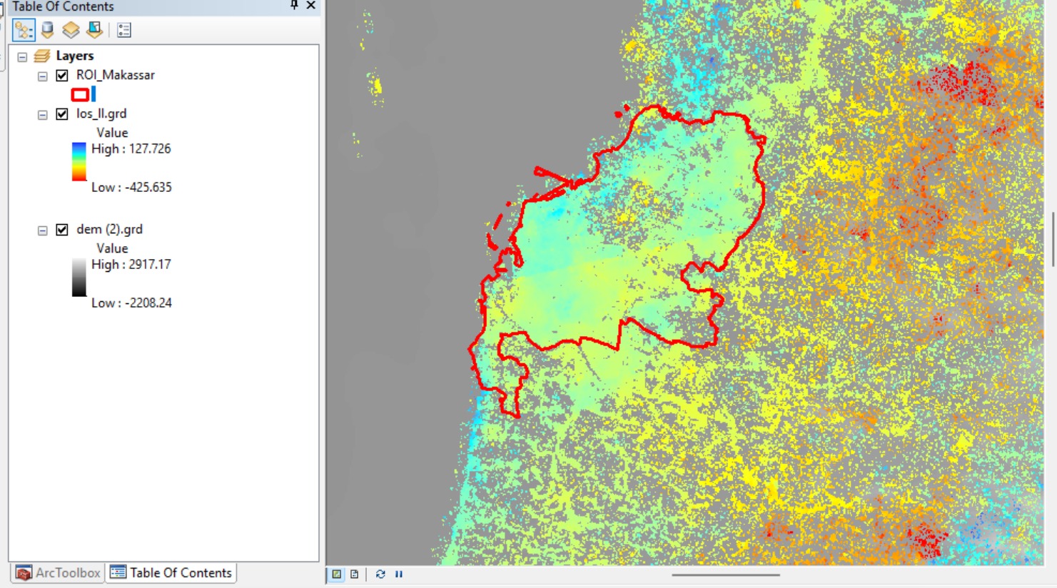
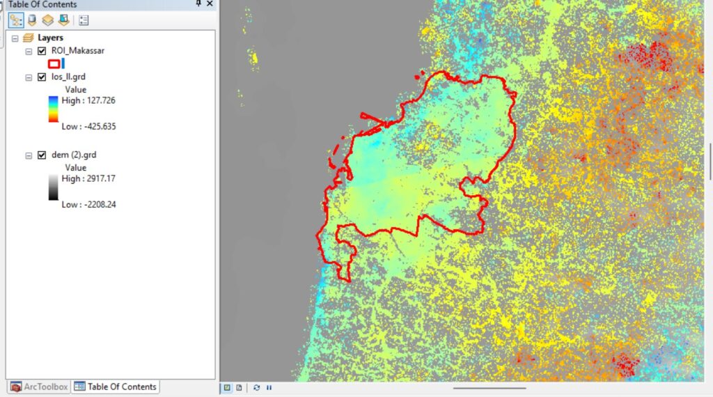
The work unfolds in five connected stages. First, the team maps and analyzes land deformation across Makassar using Sentinel-1 radar imagery processed through Interferometric Synthetic Aperture Radar (InSAR), a technique capable of detecting ground movement of just millimeters per year. Second, Sentinel-2 optical imagery is classified using the Support Vector Machine (SVM) method to track land use and land cover change, distinguishing built-up areas, vegetation, and water bodies across the city. Third, Landsat-8 thermal imagery is used to analyze the distribution of land surface temperature, revealing which neighborhoods are becoming urban heat pockets. Fourth, these deformation, land-cover, and thermal variables are integrated using the XGBoost machine learning algorithm to build a predictive settlement feasibility model. Finally, the team translates that model into a practical settlement feasibility map, one that identifies safe zones for housing development based on combined soil-stability and thermal-stability indices.
This research speaks directly to three of the Sustainable Development Goals. It supports SDG 1: No Poverty, particularly Target 1.5 on building the resilience of vulnerable communities, by helping steer housing development away from land prone to subsidence and structural risk before homes and livelihoods are put in harm’s way. It supports SDG 4: Quality Education, by strengthening local research capacity in advanced geospatial analysis, remote sensing, and machine learning, skills the participating team builds and can carry into future scientific and planning work. And it supports SDG 17: Partnerships for the Goals, by integrating multiple satellite data sources, analytical methods, and disciplines, from geodesy to land-cover science to climate analysis, into a single, shareable decision-support tool that city planners, researchers, and communities can use together.