
ABOUT US
Welcome to the Sustainable and Resilient Infrastructure Reseacrh Group
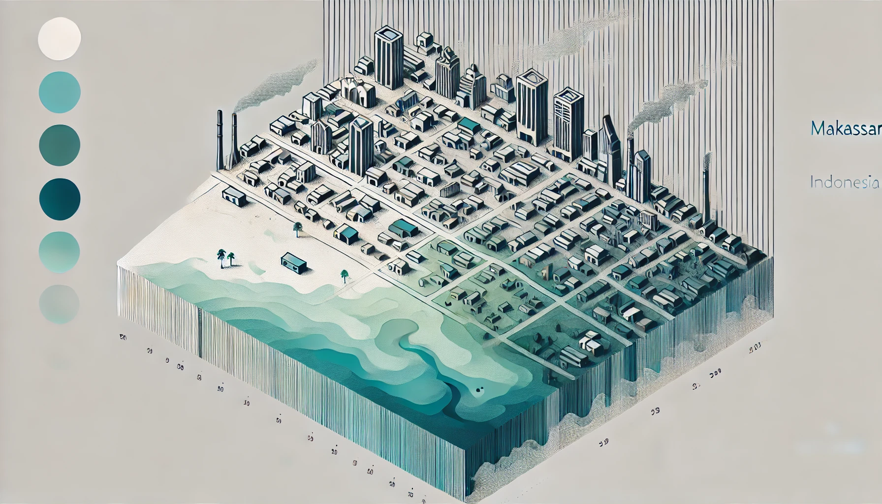
Cities are areas that are often chosen by people to carry out industrial, economic, educational and governmental activities. This is because cities are complex systems with interconnected infrastructure assets that serve as the backbone of modern society to support the economic prosperity and well-being of its citizens (1,2). With the growth of population in the city, there are changes in land cover and land use in the area. According to the Statistics Agency, Makassar City experienced population growth in 1 decade, from 2013 to 2023, around 66,321 people (3,4). Makassar City is one of the urban areas included in the Spatial Plan (RTR) of the Mamminasata Urban Area where spatial planning of the area is a priority because it has an influence on socio-cultural, economic, defense and security and environmental interests (5). Furthermore, this makes the basis for changes in land cover and land use or Land Used Land Cover (LULC) in Makassar City regularly. This is a concern because urban areas such as Makassar City have a high index of LULC change compared to the surrounding rural areas.
One method of classifying LULC quickly and more accurately can use machine learning methods. There are several machine learning classification algorithms that are commonly used, namely Decision Tree, Naïve Bayes Classifier, Random Forest Classifier and Support Vector Machine (SVM). In this research, we will apply SVM algorithm for LULC classification in Makassar City. SVM is one of the techniques for data classification and regression analysis where this classification minimizes training data classification errors and better generalization capabilities (6). The existence of land and land use changes that occur in an area will certainly affect several important aspects, one of which is urban thermal conditions. Urban areas will have higher air temperature and land surface temperature (LST) than rural areas around the urban area (7). With changing urban concentrations and increasing temperatures, it will result in changes and increases in urban surface heat or Surface Urban Heat Islands (SUHI). For quantitative and qualitative assessment of vulnerability due to the impact of SUHI, the Urban Thermal Field Variance Index (UTFVI) parameter can be used (8). Furthermore, to define the relationship between LULC, LST and UTFVI with different times using two statistical methods, including Multivariate Linear Regression (MLR) and Geographically Weighted Regression (GWR). In this case, the dependent variable is LULC and the independent variables are LST and UTFVI.
Several studies on the impact of LULC changes on LST and UTFVI. Liong et al. (2021) assessed the impact of land change in Makassar on LST and its relationship with Urban Heat Island (UHI) in 1999, 2009 and 2019 where the results showed that the highest built-up area increased by 13.1% and a decrease in vegetation of 8.6% which resulted in a change in average LST of 0.39 oC and resulted in UHI in several built-up areas in Makassar. Naim & Kafy (2021) assessed the relationship between UTFVI, Land Cover (LC) and LST in Chattogram City, Bangladesh showing that the relationship between built-up land and LST is positive and negative in vegetation, water bodies and vacant land where according to this study the built-up area increased by 19% so that LST increased by 10oC in the last 30 years and there was also an increase in UTFVI. Kafy et al. (2021) predicted seasonal UTFVI in Cumilla City, Bangladesh using machine learning algorithms stating that predictions in 2029 and 2039 will experience an increase in urban area of about 8% and 11% respectively while a decrease in green area by 9% and 14% respectively. This is if the urban area continues to increase >30% then the temperature is >33oC, the average increase in LST is 4oC and the UTFVI effect is stronger in 2029 and 2039.
LST and UTFVI analysis are needed to ensure sustainable development and measure urban health in Makassar City. Therefore, this research will detect LULC changes using SVM method in Makassar City in the last 2 decades. Furthermore, the results of LULC changes in Makassar City will be assessed and the correlation of its impact on the condition of LST and UTFVI in Makassar City. Then, the results of LULC, LST and UTFVI will be statistically analyzed using MLR and GWR.
Mission
This research has a very important usefulness and urgency in terms of planning, sustainable and resilient development and its impact on climate change. It is also important to use advanced technology to support this research. The information generated in this research can be a scientific basis in developing government policies in planning and sustainable and resilient development by considering the balance with climate change.
AIM
- Detection of Land Used Land Cover (LULC) changes in Makassar City over the last 2 decades using Machine Learning Support Vector Machine (SVM)
- Analysis and assessment of the impact of LULC changes with Land Surface Temperature (LST) in Makassar City
- Analysis and assessment of the impact of LULC changes with Urban Thermal Field Variance Index (UTFVI) in Makassar City
- Analysis of the relationship between LULC, LST and UTFVI statistically using MLR
- Analysis of the relationship between LULC, ESG and UTFVI statistically using GWR
Useful Information
Looking forward to connecting with you! Don’t hesitate to reach out.
Physical Address
Hasanuddin University, Indonesia
suharmanhz@unhas.ac.id
Phone Numbers | WhatsApps
+62-xxx-xxxx-xxxx
Send us your Feedback
We value your opinions! Share your feedback to help us improve and grow. Whether it’s about our research, website, or events, your insights are important to us.