
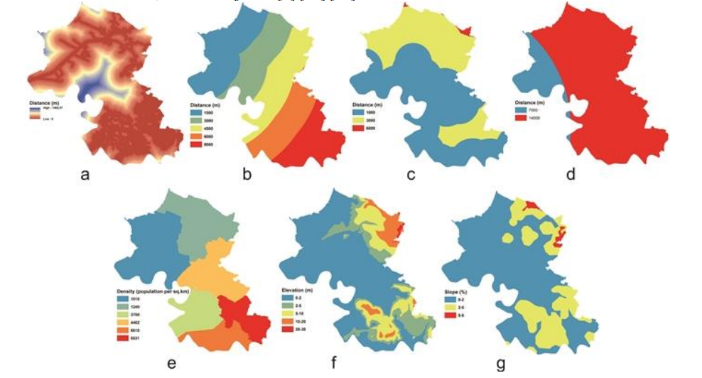

Cities are living systems—they grow, expand, and transform over time. But what happens when this growth comes at the expense of nature? A study conducted in Tamalanrea Sub-district, Makassar City, offers a clear picture of how land is changing and what it means for the future of sustainable development.
The research, titled “Spatial Dynamic Prediction of Land Use/Land Cover Change (Case Study: Tamalanrea Sub-District, Makassar City)”, was published in the IOP Conference Series: Earth and Environmental Science by IOP Publishing on June 1, 2019. This study uses satellite imagery and advanced modeling techniques to predict how land use will change up to the year 2033. By analyzing data from 2008, 2013, and 2018, the researchers identified five main land categories: agricultural land, built-up areas, barren land, vegetation, and water bodies .
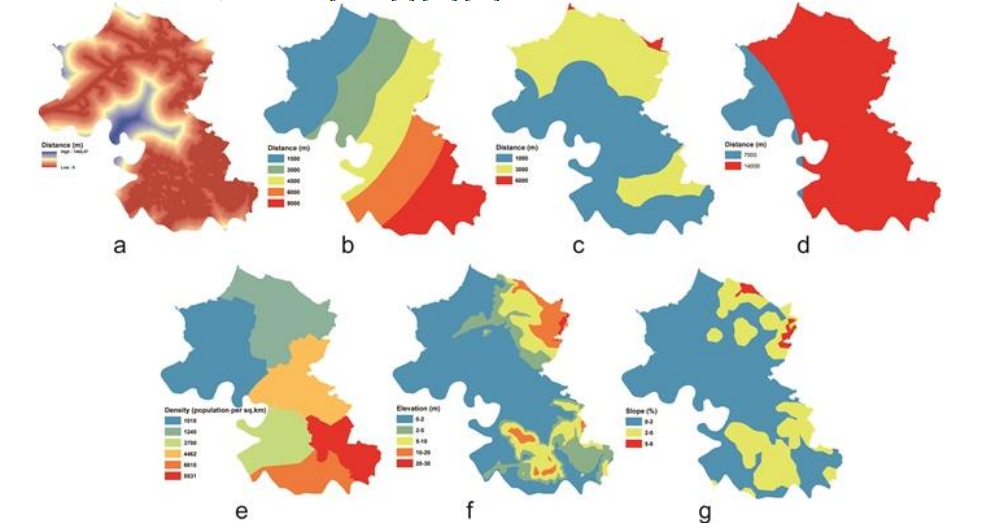
The findings reveal a clear trend: urban areas are expanding rapidly. Built-up land—such as housing, roads, and commercial spaces—has increased significantly, while agricultural land and barren areas are shrinking. This shift is largely driven by population growth and urban development, as Makassar continues to attract people for economic opportunities and better public services .
Using a machine learning approach called the Multi-Layer Perceptron (MLP) combined with Geographic Information Systems (GIS), the study predicts that by 2033, built-up areas will continue to grow by over 3%, while agricultural land will slightly decrease. Interestingly, vegetation and water bodies are expected to increase slightly, suggesting some potential for ecological balance if managed carefully .
So why does this matter?
This research is closely linked to Sustainable Development Goal (SDG) 15: Life on Land, which focuses on protecting, restoring, and promoting sustainable use of terrestrial ecosystems. Rapid urban expansion can threaten biodiversity, reduce green spaces, and disrupt natural ecosystems. If not managed properly, these changes can lead to long-term environmental degradation.
However, the study also offers hope. By using predictive tools like GIS and machine learning, policymakers can make informed decisions about land use planning. For example, they can identify areas that should be protected, plan urban growth more sustainably, and balance development with environmental conservation.
In simple terms, this research acts like a “crystal ball” for city planners. It shows not only what is happening now, but also what could happen in the future. And with that knowledge, we have a chance to make better choices.
As cities like Makassar continue to grow, the challenge is clear: how do we develop without destroying the natural systems that support us? The answer lies in smart planning, strong policies, and a commitment to sustainability.
Because in the end, the future of our cities is not just about buildings—it’s about balance.
doi:10.1088/1755-1315/280/1/012023
Contact :
Prof. Agnes Rampisela
metroxylonsagu@trg.unhas.ac.id


