
MAKASSAR, Indonesia May 22 2026 /GLOHAMOD/– Sulawesi is one of Indonesia’s most earthquake-prone regions, sitting on a complex meeting point of active tectonic plates that constantly reshape the earth beneath its surface. For millions of people living across Central, West, and South Sulawesi, the threat of sudden seismic activity is not a distant possibility—it is part of everyday reality. But what if science could read the earth’s hidden warning signs before disaster strikes?
A recent scientific breakthrough offers exactly that possibility.
The study titled Integrating New GMPE and Seismic b-value for Comprehensive Hazard Analysis in Central, West, and South Sulawesi, Indonesia, published in Mausam by the India Meteorological Department on May 20, 2026, introduces a more accurate way to assess earthquake hazards by combining Ground Motion Prediction Equations (GMPE) with seismic b-value analysis.
This advanced method helps scientists estimate Peak Ground Acceleration (PGA)—a measurement of how strongly the ground may shake during an earthquake. The study found PGA values ranging from 0.77 to 8.36 gal across the region, with the highest levels concentrated near active fault lines and geologically weaker areas. These locations face greater risk because unstable underground structures can amplify destructive seismic waves.
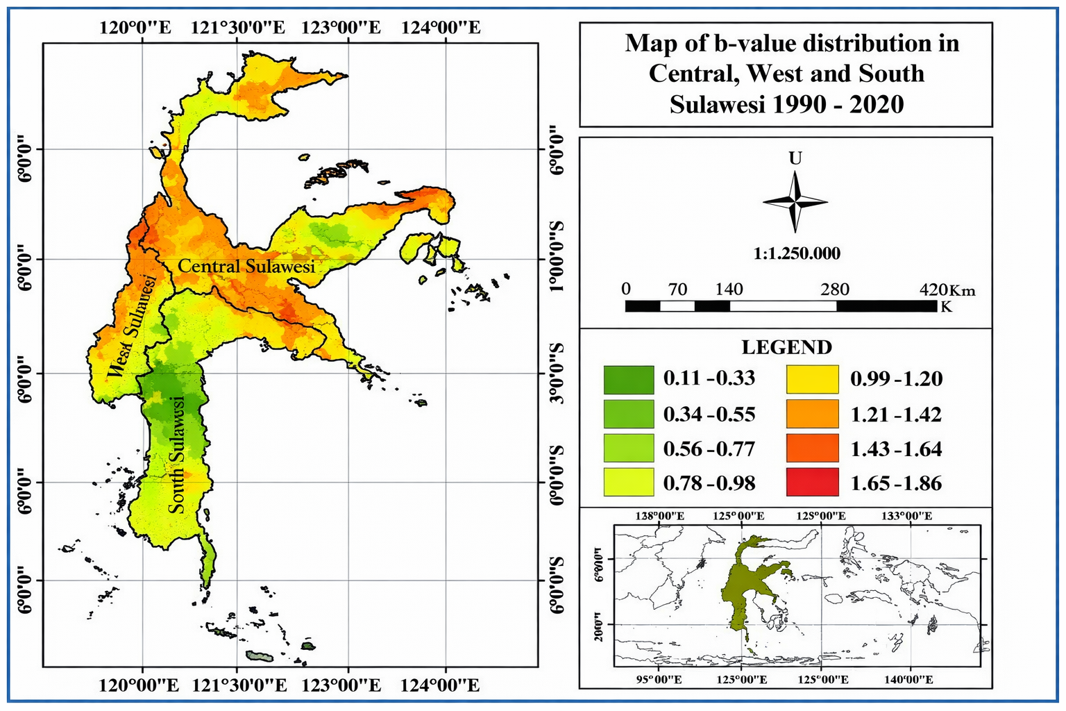
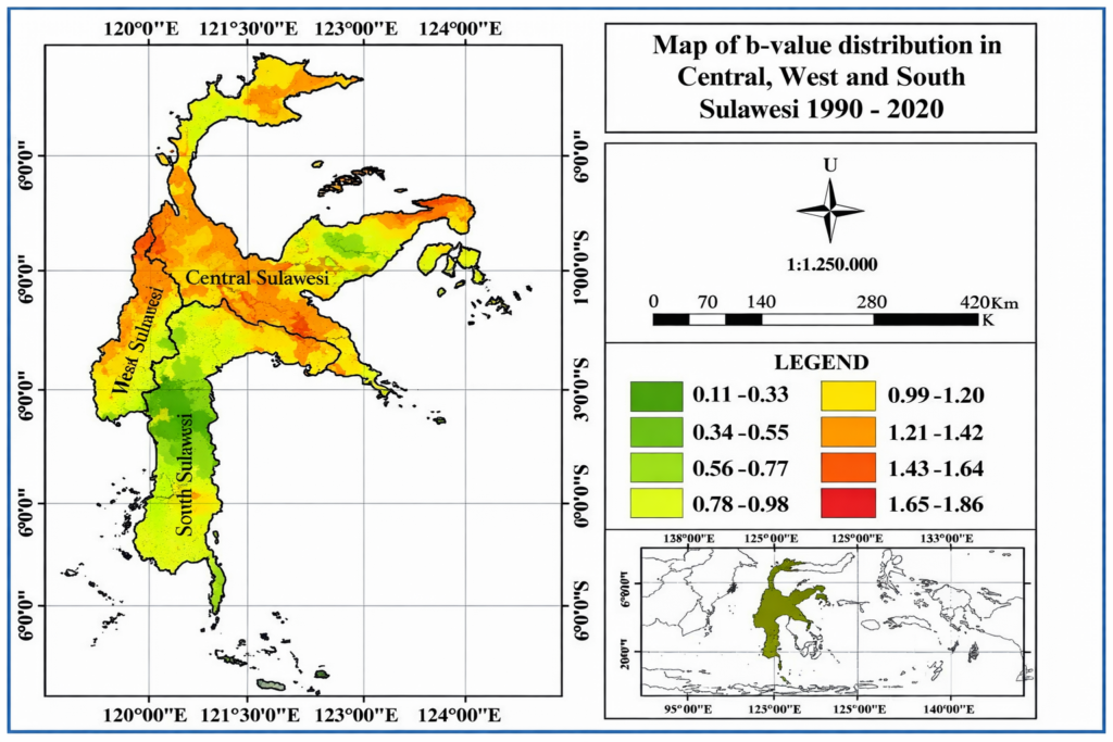
At the same time, researchers measured seismic b-values, which indicate how stress builds up beneath the earth’s crust. The recorded values ranged from 0.11 to 1.86. Lower b-values are considered especially significant because they suggest increasing underground pressure that may eventually trigger moderate to large earthquakes.
This is where science becomes a tool for survival.
The research strongly supports SDG 3: Good Health and Well-being, emphasizing the importance of protecting communities from disaster-related injuries, deaths, and long-term psychological trauma. Earthquake preparedness is not only about infrastructure—it is about preserving lives, ensuring access to emergency healthcare, and building resilient communities capable of recovering faster after disaster strikes.
Accurate hazard mapping also empowers local governments, engineers, schools, and hospitals to make smarter decisions. From designing safer public buildings to improving evacuation routes and disaster education, this scientific knowledge directly strengthens public safety systems.
Equally important, the study contributes to SDG 4: Quality Education by translating highly technical seismic data into practical knowledge that can guide public awareness and disaster literacy. When communities understand risk, they become better prepared to respond.
In a region shaped by constant tectonic movement, earthquakes may be unavoidable. But their devastating impacts do not have to be.
By listening carefully to the earth’s subtle signals, researchers are giving Sulawesi something invaluable: time to prepare, knowledge to act, and hope for a safer future.
Reference:
DOI: https://doi.org/10.54302/mausam.v77i2.6915
Article Title: Integrating New GMPE and Seismic b-value for Comprehensive Hazard Analysis in Central, West, and South Sulawesi, Indonesia
Journal: Mausam
Publisher: India Meteorological Department
Publication Date: May 20, 2026
Contact:
Saaduddin, M. Sc., PhD
+62 8992890320
Saad@sci.unhas.ac.id