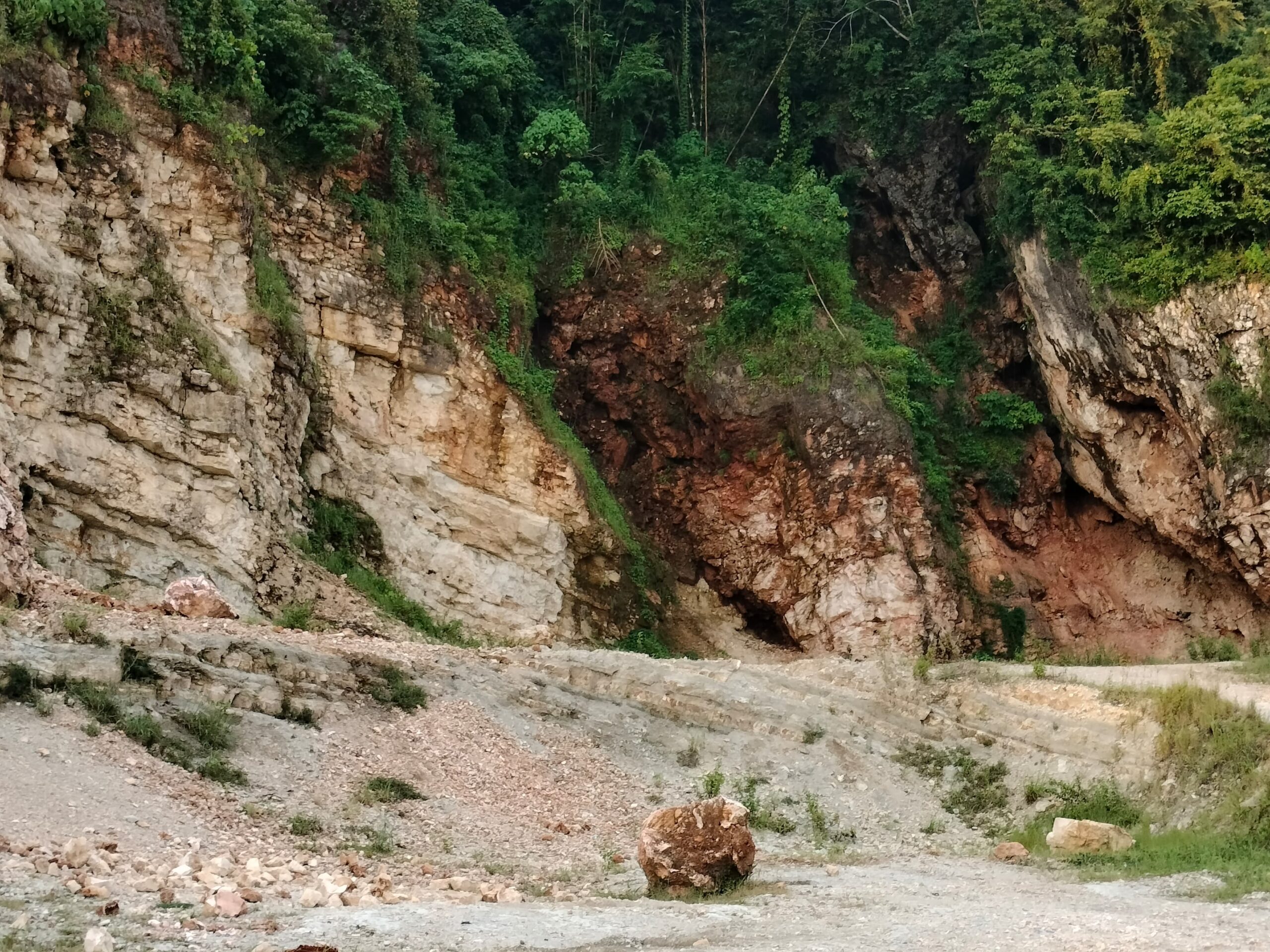

Segeri and Salenrang – On February 28, 2025, a field-based geological investigation was conducted at the outcrops of the Tonasa Formation located in the Segeri River and Salenrang areas, Maros, South Sulawesi. The activity involved five participants and focused on conducting detailed measuring section observations along two different outcrop traverses. This field program represented an important step in understanding the stratigraphic characteristics and lithological variations of carbonate rock units exposed within the research area.
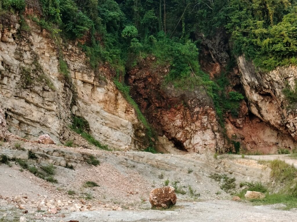
The activity was designed to provide direct field experience in geological observation and stratigraphic analysis through systematic measuring section methods. During the investigation, participants carefully measured the actual thickness of exposed rock layers while documenting lithological characteristics, sedimentary structures, fossil content, and rock textures observed along the outcrop sections. Rock samples were also collected from representative lithofacies units to support further laboratory analysis and geological interpretation.
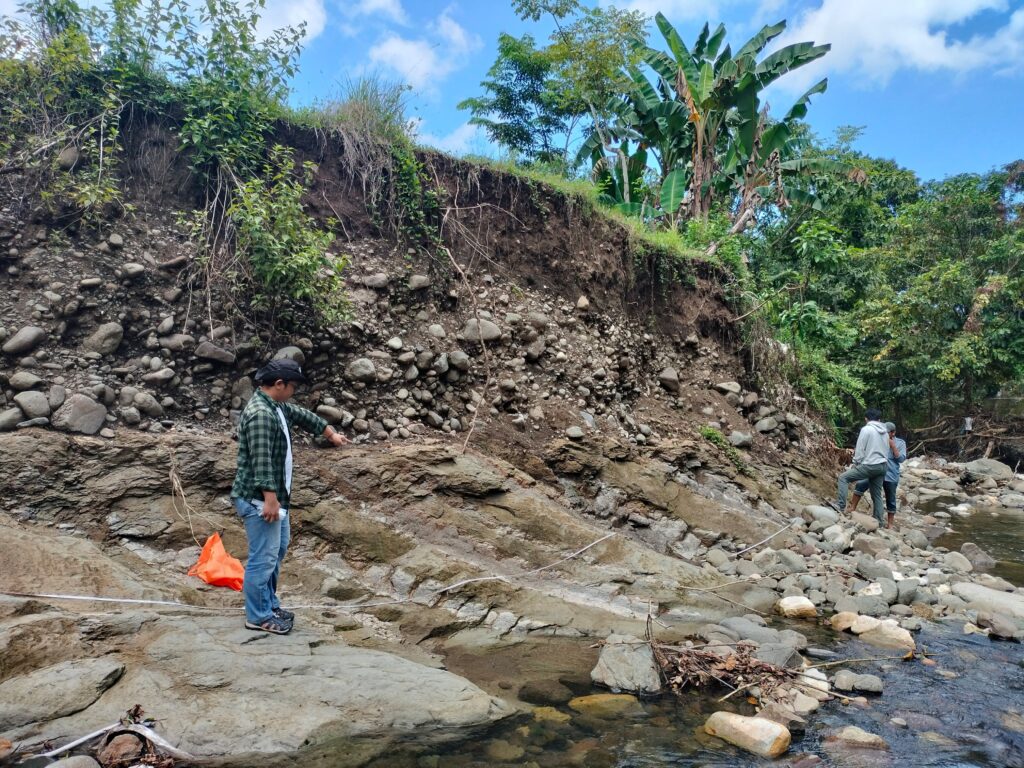
The measuring section method is one of the most fundamental techniques in sedimentology and stratigraphy because it allows geologists to reconstruct the depositional history of sedimentary rocks in detail. Through this activity, participants were able to identify both vertical and lateral lithofacies variations within the Tonasa Formation. These observations are essential for interpreting changes in depositional environments and understanding the geological evolution of carbonate systems in South Sulawesi. Furthermore, the collected field data contributed to determining the stratigraphic succession of the study area based on observable lithostratigraphic characteristics found in the field.
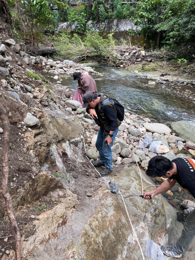
In addition to its scientific importance, the activity also strengthened practical geological skills among participants. Fieldwork encourages critical thinking, teamwork, problem-solving abilities, and scientific communication, all of which are essential competencies for future geoscientists. By directly interacting with natural geological exposures, participants gained a deeper appreciation of Earth’s history and the importance of preserving geological heritage as part of sustainable environmental management.
This activity also reflects several objectives within the United Nations Sustainable Development Goals (SDGs). First, the program supports SDG 4: Quality Education by providing experiential and research-based learning opportunities outside the classroom environment. The field investigation enabled participants to apply theoretical geological concepts directly in nature, thereby improving scientific literacy and practical competence.
Second, the activity contributes to SDG 17: Partnerships for the Goals through collaborative fieldwork and knowledge-sharing among participants during data collection and interpretation. Scientific collaboration in field investigations plays an important role in strengthening research capacity and developing interdisciplinary understanding in Earth science studies.
In addition, the activity is indirectly connected to SDG 1: No Poverty, particularly through the long-term contribution of geological studies to sustainable natural resource management and regional development planning. Geological mapping and stratigraphic investigations provide valuable baseline information for environmental assessment, geotourism development, groundwater studies, and future scientific exploration that may contribute to local economic opportunities.
Overall, the measuring section activity conducted in the Segeri River and Salenrang areas successfully provided meaningful scientific data while enhancing participants’ understanding of stratigraphy, lithofacies analysis, and field-based geological investigation. The program demonstrated how geological field activities can simultaneously support scientific advancement, educational development, and sustainable development goals within society.