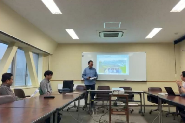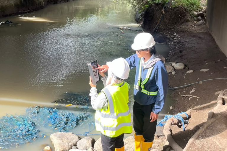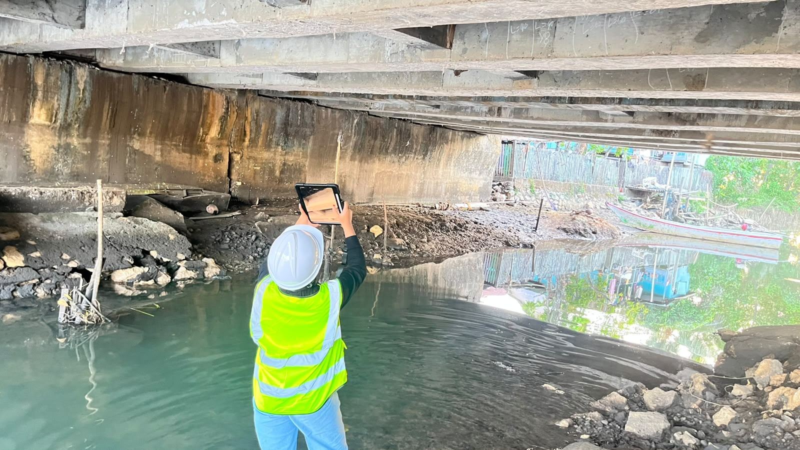

Pangkajene Kepulauan – Digital technologies are creating new opportunities to document and understand the condition of existing infrastructure. One such technology is Light Detection and Ranging (LiDAR), which can capture three-dimensional information from structural surfaces and transform physical observations into digital data. To support ongoing research on reinforced concrete bridge assessment, a LiDAR-based field survey was conducted at Lerang-Lerang Bridge in Pangkajene and Islands, South Sulawesi.
The activity was conducted on 3 August 2026 and involved 6 participants. The survey focused on the surface condition of reinforced concrete bridge girders, particularly areas where visible cracking had been identified. The main objective was to obtain detailed digital information on the existing crack patterns and surface geometry. The resulting LiDAR data will subsequently be processed to map and analyze cracks and correlate their characteristics with structural performance parameters developed through the research.
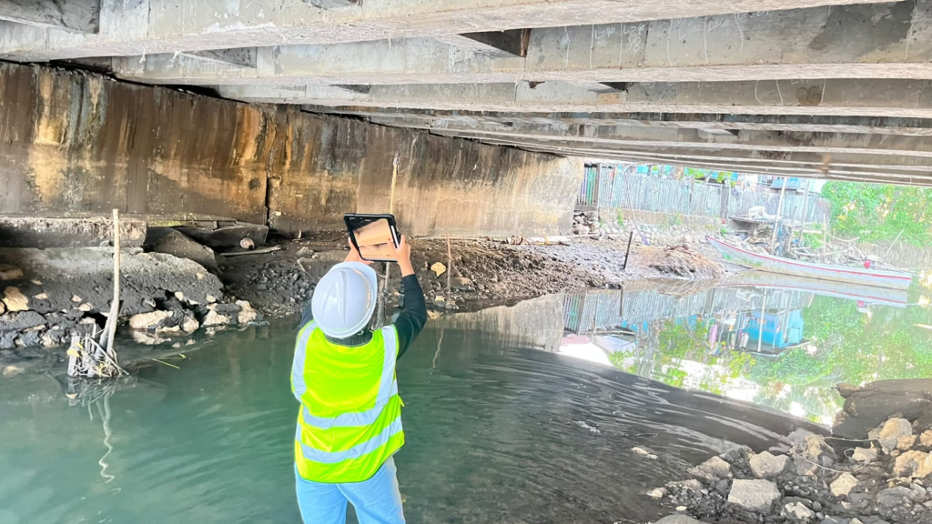
During the field activity, the girder surfaces were scanned using a LiDAR sensor integrated into a tablet device. The technology generates three-dimensional point-cloud data by measuring reflected infrared signals, allowing the surface of a structural element to be represented digitally. According to the research reference, consumer-grade LiDAR such as that integrated into an iPad Pro can provide detailed geometric information through a relatively fast and non-contact acquisition process.
The survey process forms part of a broader workflow connecting field observation with structural analysis. After acquisition, the LiDAR data can be registered, filtered, and denoised to produce a clearer three-dimensional representation. Crack locations and other geometric characteristics can then be extracted from the digital model and compared with observations from conventional visual inspection. This approach allows physical bridge conditions to be transformed into measurable digital information.
The research reference demonstrates the potential of this approach through comparisons between LiDAR and visual crack measurements on reinforced concrete girders with a high level of agreement between the two approaches, although some individual measurements showed larger differences. These findings provide a basis for using LiDAR data as an input for further investigation rather than treating the technology simply as a documentation tool.
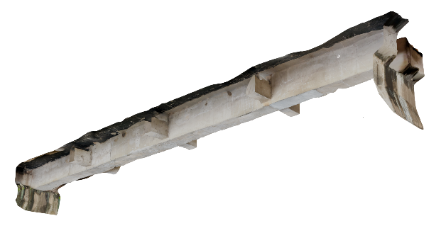
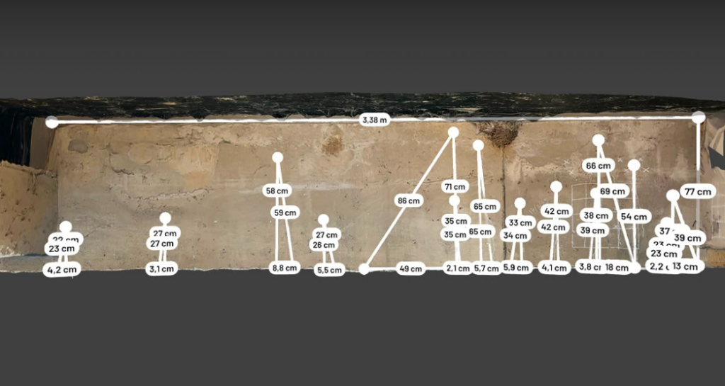
The collected data from Lerang-Lerang Labakkang Bridge will therefore support the next stage of research, in which observed crack characteristics are analyzed and correlated with structural performance parameters. The objective is to investigate whether measurable crack information obtained from an existing bridge can provide an indication of its current structural performance.
This activity contributes directly to SDG 4 – Quality Education by connecting engineering theory, field-based learning, digital technology, and applied research. It provides practical experience in collecting and interpreting structural data while supporting the development of knowledge for reinforced concrete bridge assessment. Through this integration of field surveying and research, LiDAR becomes not only a digital measurement technology but also a tool for developing more evidence-based approaches to understanding existing bridge structures.
The activity also supports SDG 9 – Industry, Innovation and Infrastructure, particularly through the application of digital technology to existing transportation infrastructure. The use of LiDAR provides an innovative approach for documenting bridge surfaces and converting physical structural conditions into measurable three-dimensional data. By correlating LiDAR-derived crack information with structural performance parameters, the research aims to contribute to the development of more systematic and technology-based methods for assessing existing reinforced concrete bridges.
Together, these contributions demonstrate how field investigation, digital technology, and engineering research can be integrated to address real infrastructure conditions. The LiDAR survey at Lerang-Lerang Labakkang Bridge therefore represents not only a data collection activity, but also a step toward developing knowledge and innovative tools for understanding the current performance of existing bridge structures.